What is recorded here
Marianne rolled out a thin blue sheet across the kitchen table and drew a red circle beside the lake. She pointed inside the circle and said her grandmother stood there when the water first appeared. Kevin watched the red line cut through the drawing and wondered whether she remembered the fort or invented it.
Situated on an E-facing slope, overlooking an artificial lake to the E, and c. 10m N of a possible hut site (LI013-064002-). The monument, depicted on the 1924 OS 6-inch map as a circular area (diam. c 40m) enclosed by a bank, has been levelled and there was no evident trace of it when the monument was inspected.
Compiled by: Denis Power
Date of upload: 2 April 2013
The monument record does not grant public access. Check the route and ask the landowner before entering private land.
- What survives
- Recorded monument
Places near here
 Hut site in GreenmountHut site · 29 yd
 Enclosure in GreenmountEnclosure · 781 yd
 Fort Etnacountry house · 1063 yd
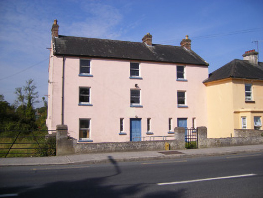 RIC barracksRIC barracks · 1467 yd
 Castle FieldCastle, unclassified · 1.3 mi
 Ballinveala Castle (in ruins)Castle, tower house · 1.8 mi
 Dysert AenghusaHeritage attraction · 5.2 mi
 Kinnoor WellSpring · 6.7 mi
 Flat cemetery in Kiltenan SouthFlat cemetery · 7.3 mi
 Grass IslandIslet · 7.5 mi
 Maiden RockNamed rock · 7.7 mi
 Mellon PointHeadland · 8.3 mi