What is recorded here
Greaghnafarna holds a twenty-eight-metre earthen ring on a gentle western slope, its eastern bank still standing eighty centimetres high while reeds mark the forgotten ditch around the rest. The southern entrance faces the setting sun, inviting whoever entered to watch the light leave the grassy chamber before darkness closed the circle. A second rath waits a hundred metres north-west, suggesting this was never a lonely shelter but a small neighbourhood of earth and memory.
Located on a gentle W-facing slope. This is a grass and rush-covered circular area (diam. 28m N-S; 27m E-W; int. diam. 26.5m N-S; 25.5m E-W) defined by an overgrown earthen bank (Wth 3-4m; int. H 0.4m; ext. H 0.8m) N-E-S, which is reduced to a scarp (H 0.4m) elsewhere. There is an external fosse (Wth 1.5-4m) represented by a band of reeds, and the entrance (Wth 4m) is at SE. Rath (LE018-031----) is c. 100m to the NW.
The above description is derived from 'The Archaeological Inventory of County Leitrim' compiled by Michael J. Moore (Dublin: Stationery Office, 2003). In certain instances the entries have been revised and updated in the light of recent research.
Date of upload: 23 September 2008
The monument record does not grant public access. Check the route and ask the landowner before entering private land.
- What survives
- Recorded monument
Places near here
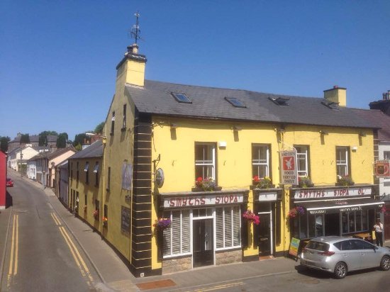 Sweat Ho.Sweathouse · 524 yd
 IndicatedSweathouse · 537 yd
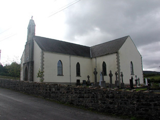 Saint Hugh's Catholic Churchchurch/chapel · 1478 yd
 Fahy RockIslet · 1.3 mi
 Church (in Rns)Church · 1.4 mi
 Republican Garden of RemembranceMemorial · 1.5 mi
 Forde's CastleCastle · 2.1 mi
 Gull IslandIslet · 2.2 mi
 ArdlougherMountain / peak · 2.5 mi
 CarrickbrannanMountain / peak · 2.6 mi
 PlaygroudCliff · 2.6 mi
 Corrard ForestForest · 2.7 mi