
What is recorded here
Located on the small Inishmagrath Island (area c. 3 ha; c. 8 acres) near the N shore of Lough Allen, and probably the site of the parish church of Inishmagrath, which was sometimes known as the ‘Parish of the Island’ (Lewis 1837, 2, 24). The church is an overgrown rectangular structure (int. dims 10.2m E-W; 4.44m N-S) built of coursed masonry and survives fairly complete (H 2m), except the N wall which is reduced to a cairn. There are no windows, doorways or other architectural features visible. It is within a rectangular graveyard defined by earth and stone banks but there is no evidence of grave-markers, although traditionally it was a popular burial place of burial (M'Parlan 1802, 105-7). Funerals departed for the island from Gob na nDaoine Marbh – Dead Man’s Point, which is the nearest point of the shore c. 300m to the NE. (Fuaghnan 1943, No. 143; Clancy and Forde 1980, 6-9)
The above description is derived from 'The Archaeological Inventory of County Leitrim' compiled by Michael J. Moore (Dublin: Stationery Office, 2003). In certain instances the entries have been revised and updated in the light of recent research.
Date of revised upload: 6 July 2017
The monument record does not grant public access. Check the route and ask the landowner before entering private land.
- What survives
- Recorded monument
Places near here
 Fahy RockIslet · 552 yd
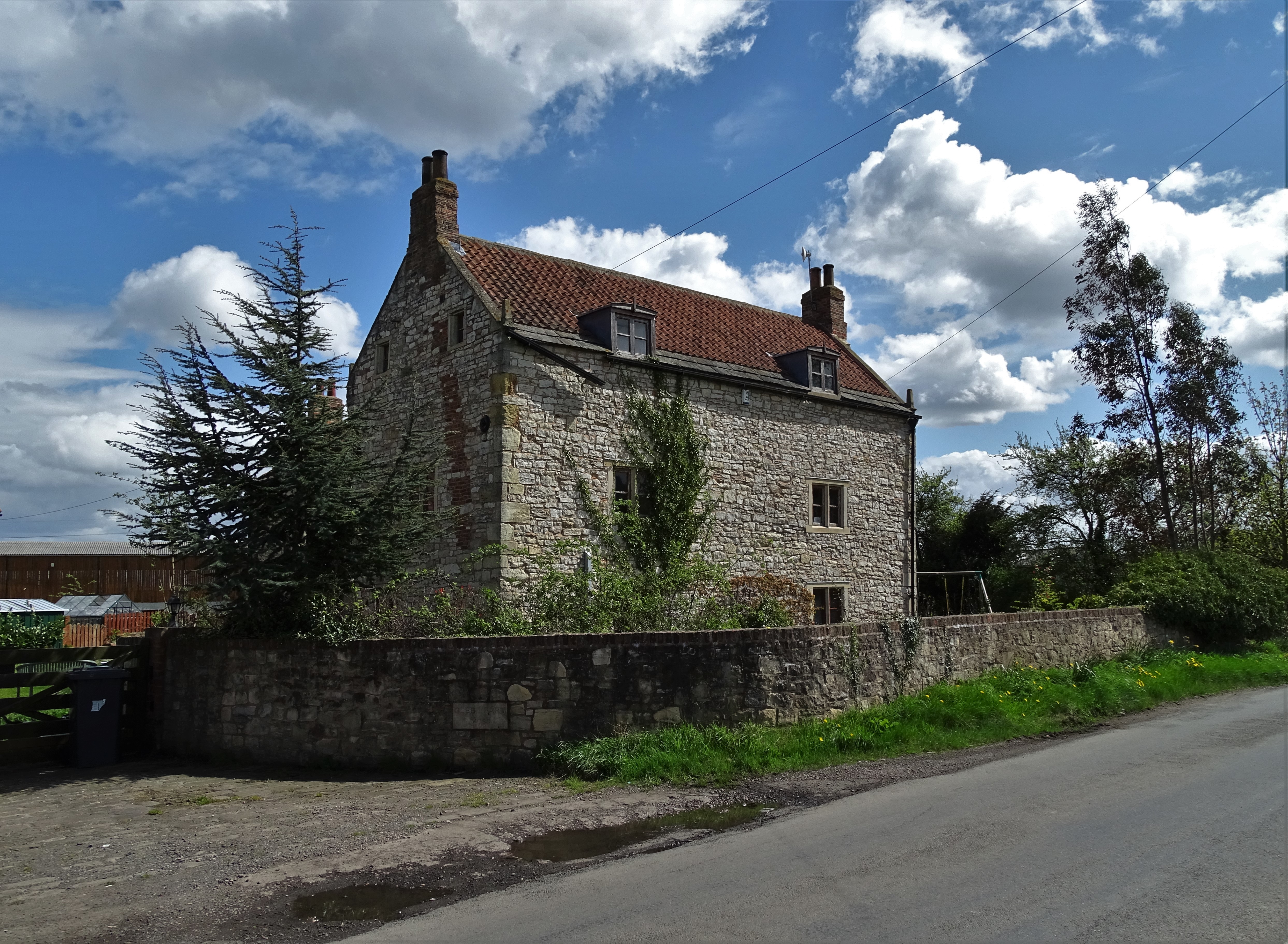 Sweat Ho.Sweathouse · 999 yd
 Gull IslandIslet · 1514 yd
 Forde's CastleCastle · 1541 yd
 Enclosure in CorryEnclosure · 1690 yd
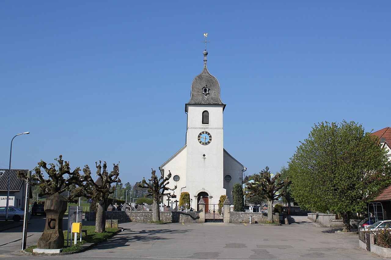 Church in FahyChurch · 1.0 mi
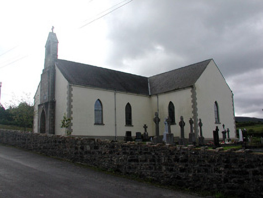 Saint Hugh's Catholic Churchchurch/chapel · 1.4 mi
 Black PoplarBlack Poplar · 2.4 mi
 European ashEuropean ash · 2.4 mi
 Republican Garden of RemembranceMemorial · 2.6 mi
 ArdlougherMountain / peak · 3.2 mi
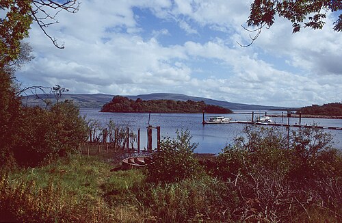 Lough AllenLarge freshwater lake · 3.3 mi
Other information
Photo: Credit not shown in the picture search · Rights wording not checked; contact us if this picture should be removed