What is recorded here
No doorway exists on Blast Hill, only a seamless ring of grass and rush where human entry failed or never mattered. The fort sits complete at the summit, suggesting exclusion rather than invitation. Field walls now cut through the outer bank, proving the land changed around the marker instead of the marker changing for the land.
Situated on the summit of Blast Hill. This is a grass and rush-covered subcircular area (int. dims 19.3m NW-SE; 17.4m NE-SW) defined by a grass-covered earthen bank (Wth 4.5-5.5m; int. H 0.1m; ext. H 0.8-1.2m) which is separated by a rush-growing fosse (Wth of base 2.5-3m; D 0.2-0.7m) from an outer grass-covered earthen bank (Wth 6.8-8.5m; ext. H 1.5-1.6m). There is no identifiable original entrance. The monument is circumscribed by field walls which partly truncate the outer bank at NW, and it has a maximum external diam. of 49m.
The above description is derived from 'The Archaeological Inventory of County Leitrim' compiled by Michael J. Moore (Dublin: Stationery Office, 2003). In certain instances the entries have been revised and updated in the light of recent research.
See the attached aerial view
Date of upload: 23 September 2008
The monument record does not grant public access. Check the route and ask the landowner before entering private land.
- What survives
- Recorded monument
Places near here
 IndicatedFairy fort / earthen ringfort · 1.2 mi
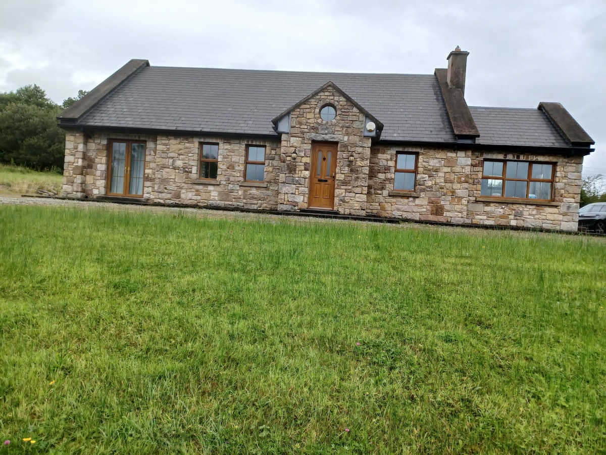 Embanked enclosureFairy fort / earthen ringfort · 1.3 mi
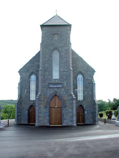 Saint Mary's Catholic Churchchurch/chapel · 1.5 mi
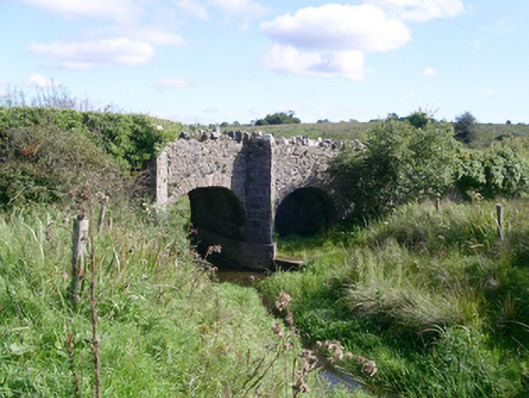 bridgebridge · 1.7 mi
 CastleCastle, unclassified · 2.3 mi
 Coola Castle (in Ruins)Bawn · 2.8 mi
 Giants GraveArchaeological place · 4.1 mi
 Carrane HillCliff · 4.4 mi
 SlishwoodWood · 4.5 mi
 Cullentra ForestForest · 4.5 mi
 Trawane BayBay · 4.8 mi
 InnisfreeIslet · 4.9 mi