What is recorded here
Fairy forts are human ringforts misnamed because people stopped remembering the hands that built them. In Greaghlane a D-shaped bank stood on a NE-facing slope with a SW entrance and a small house site inside, but the SW part had been removed by 1995. The field cut through what remained, reducing a lived place to a ridge nobody could be bothered to explain.
Located on a NE-facing slope. This was described in 1967 as a D-shaped grass-covered area (dims 21m NE-SW; 19.6m NW-SE) defined by a grass-covered earthen bank (Wth 5m; int. H 0.3-0.6m; ext. H 0.8-1m), but the monument was truncated by a NNW-SSE field bank at NE and was not evident beyond this feature. There was no visible fosse but there was an entrance (Wth of base 2.1m) at SW. Inside the perimeter at SSW was a small subrectangular house site (dims 3.9m x 3.7m) defined by earthen banks (Wth 1.4m; H 0.3m). The remaining SW part of the monument had been removed by 1995 (OSAP).
The above description is derived from the published 'Archaeological Inventory of County Monaghan' (Dublin: Stationery Office, 1986). In certain instances the entries have been revised and updated in the light of recent research.
Revised by: Michael Moore
Date of revision: 31 January 2018
The monument record does not grant public access. Check the route and ask the landowner before entering private land.
- What survives
- Recorded monument
Places near here
 Black fortFairy fort / earthen ringfort · 561 yd
 CaveMan-made underground passage · 1006 yd
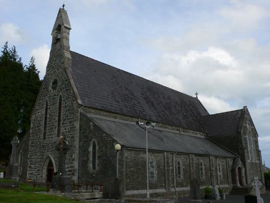 Saint Michael's Catholic Churchchurch/chapel · 1.3 mi
 farm housefarm house · 1.6 mi
 Tally WoodWood · 2.1 mi
 Gully IslandIslet · 2.6 mi
 Rock IslandIslet · 2.7 mi
 TobernagalliaghSpring · 2.7 mi
 RaferaghMountain / peak · 3.6 mi
 Fincarn HillMountain / peak · 3.9 mi
 Horse-chestnutHorse-chestnut · 3.9 mi
 Mannan Castle (in ruins)Castle, Anglo-Norman masonry castle · 3.9 mi