What is recorded here
Fairy fort / earthen ringfort in Greaghlane stands on a NE-facing rise in County Monaghan, Ireland. Its earthen bank and stone-lined SE entrance marked a small defended or ceremonial space before coniferous trees and changing field banks obscured the outline. The lost entrance and hidden slope still suggest a place shaped for human life, memory and maybe story.
Located on a rise on a NE-facing slope. This was described in 1967 as a circular area (diam. 20.5m ENE-WSW; 20m NW-SE) planted in coniferous trees that sloped from the centre down to the SE (H 1.2m) defined by an earthen bank (Wth 2.6-4m; int. H 0.5-1m; ext. H 0.7-1m) that was replaced SSW-WNW by a WNW-ESE field bank. There was no visible fosse but the entrance (Wth 2.4m) at SE was stone-lined. It had been removed by 1995 (OSAP).
The above description is derived from the published 'Archaeological Inventory of County Monaghan' (Dublin: Stationery Office, 1986). In certain instances the entries have been revised and updated in the light of recent research.
Revised by: Michael Moore
Date of revision: 31 January 2018
The monument record does not grant public access. Check the route and ask the landowner before entering private land.
- What survives
- Recorded monument
Places near here
 Black fortFairy fort / earthen ringfort · 699 yd
 CaveMan-made underground passage · 1004 yd
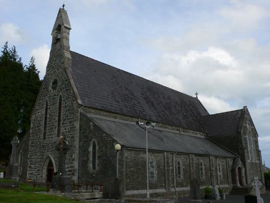 Saint Michael's Catholic Churchchurch/chapel · 1.3 mi
 farm housefarm house · 1.6 mi
 Tally WoodWood · 2.0 mi
 Gully IslandIslet · 2.5 mi
 Rock IslandIslet · 2.6 mi
 TobernagalliaghSpring · 2.7 mi
 RaferaghMountain / peak · 3.6 mi
 Fincarn HillMountain / peak · 3.8 mi
 Mannan Castle (in ruins)Castle, Anglo-Norman masonry castle · 4.0 mi
 Horse-chestnutHorse-chestnut · 4.0 mi