What is recorded here
Fairy forts are human origins wearing a mask, and this is no exception. The western curve still stands with two crisp banks and a shadowed ditch, while the eastern half has surrendered to grass and forgetting. A hidden passage nearby suggests the site was built for more than passive display. Perhaps people moved through that dark tunnel during storms or festivals, emerging beside the ring as if the earth itself had exhaled them.
On a hill slope in pastureland. Only the W section of this circular rath (diam. 25m) survives: it is defined by two well-preserved banks of earth and stone and an intervening fosse from SW to NW. Elsewhere a low rise marks the line of the inner bank but no visible surface trace of the fosse or outer bank are evident. A Man-made underground passage (GA114-090001-) is associated.
Compiled by: Galway Archaeological Survey, UCG
Date of upload: 5 January 2018
The monument record does not grant public access. Check the route and ask the landowner before entering private land.
- What survives
- Recorded monument
Places near here
 Enclosure in Grannagh (loughrea By.)Enclosure · 141 yd
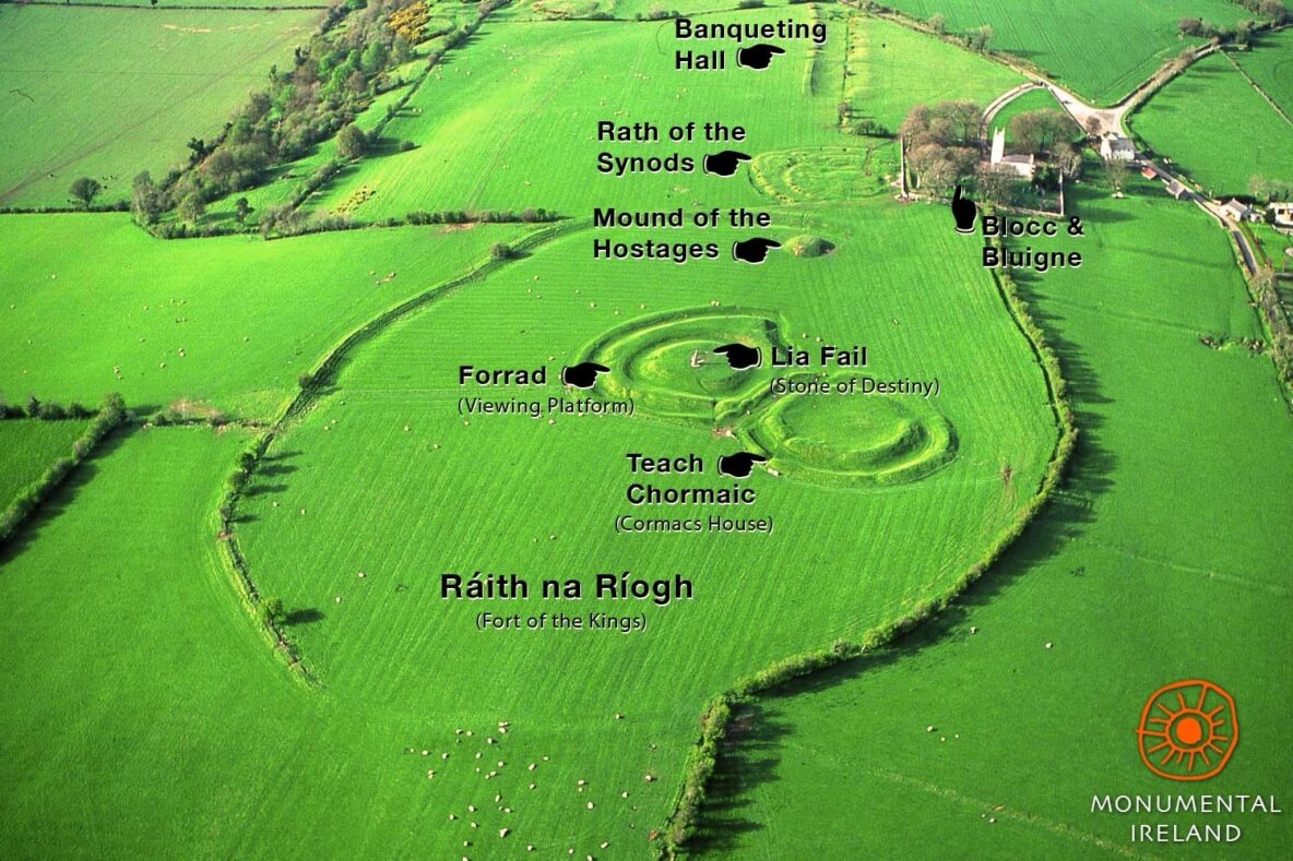 Inauguration site in Grannagh (loughrea By.)Inauguration site · 281 yd
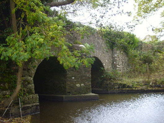 bridgebridge · 901 yd
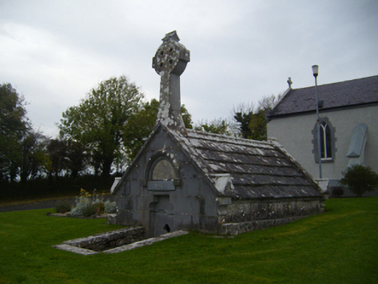 Saint Teresa's Catholic Churchmausoleum · 1372 yd
 Castle (in ruins)Castle, Anglo-Norman masonry castle · 1.1 mi
 Rahaly Castle (in ruins)Castle, tower house · 1.1 mi
 European ashEuropean ash · 3.3 mi
 HawthornHawthorn · 3.3 mi
 KnockapollboyMountain / peak · 4.3 mi
 Drumharsna CastleHeritage attraction · 4.5 mi
 Scalpeen RockNamed rock · 4.9 mi
 KnocknarebanaMountain / peak · 5.9 mi