What is recorded here
Forty metres of grass and memory circle Grannagh, marking a boundary older than the farms that now crowd it. The inner bank still rises steeply toward a wide fosse, though rubbish and soil have buried the eastern gap. A farmyard has swallowed the western edge, proving that human wanting often erases the shapes we claim to protect. What remains is a bruised ring on a south-facing slope, waiting for someone to stop measuring and start listening.
On a S-facing slope in grassland. Poorly preserved circular rath (diam. 40.8m) defined by two banks and an intervening fosse. The inner bank (max. Wth 8.8m; Wth at top 1.3m; int. H 1.4m) is high and slopes steeply to the fosse. A large gap has been cut through it at NE. The fosse (Wth 4.3m) is wide and deep but has been infilled with rubbish and soil at NE. The outer bank (Wth 2m; int. H 0.3m) only survives at S. A farmyard has encroached upon the monument at W resulting in the infilling of the fosse and the destruction of the inner bank.
This monument is subject to a preservation order made under the National Monuments Acts 1930 to 2014 (PO no. 1/1981).
Compiled by: Galway Archaeological Survey, UCG
Date of upload: 4 January 2018
The monument record does not grant public access. Check the route and ask the landowner before entering private land.
- What survives
- Recorded monument
Places near here
 Enclosure in Grannagh (loughrea By.)Enclosure · 280 yd
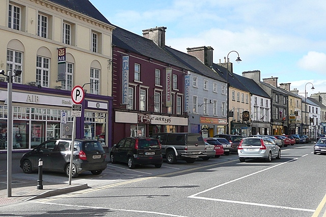 IndicatedEnclosure · 466 yd
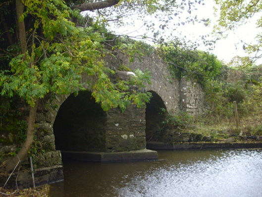 bridgebridge · 1617 yd
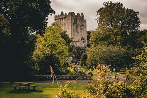 Bawn in CastleparkBawn · 1.2 mi
 Castle (in ruins)Castle, Anglo-Norman masonry castle · 1.2 mi
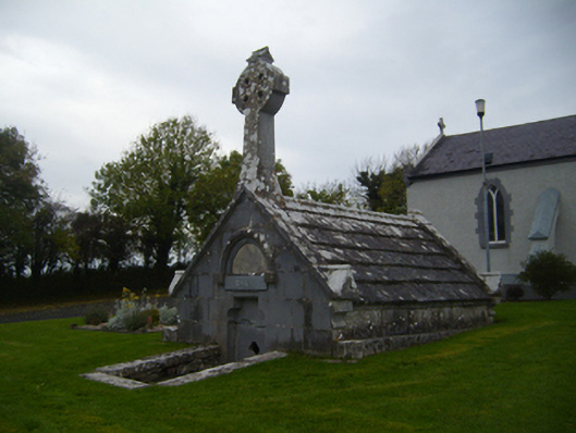 Saint Teresa's Catholic Churchmausoleum · 1.3 mi
 HawthornHawthorn · 3.4 mi
 European ashEuropean ash · 3.4 mi
 Drumharsna CastleHeritage attraction · 4.2 mi
 KnockapollboyMountain / peak · 4.8 mi
 Scalpeen RockNamed rock · 5.3 mi
 Mulroney's IslandIslet · 8.5 mi