
What is recorded here
That is the name, place, kind and the one visible fact supplied. Clear evidence may still exist elsewhere.
Located in low-lying pasture. This platform ringfort comprises a circular raised area (diam.40m; H 2m) with slight traces of a bank around the perimeter (Wth 8m, H c. 0.6m) and an external fosse at the base (Wth 10m; D 0.5m). There is an entrance ramp in SE (Wth 3m). The site is cut by a drain along the W section (Healy 1975, 16).
The fosse is no longer visible due to potato planting two years running plus significant insertion of drainage. The ringfort provides dry ground for the cattle and as a consequent has suffered severe poaching. The recent wet years resulted in the surrounding field being subject to extensive flooding and the ringfort being the only high land.
Compiled by: Geraldine Stout
Updated by: Christine Baker
Date of upload: 29 October 2014
The monument record does not grant public access. Check the route and ask the landowner before entering private land.
- What survives
- Recorded monument
Places near here
 IndicatedHouse, 16th/17th century · 430 yd
 Field system in TobertownField system · 798 yd
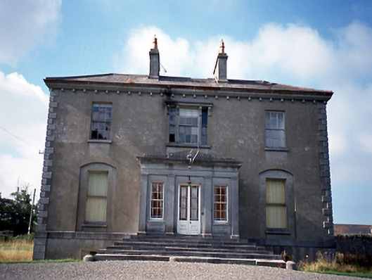 Whitestown Housecountry house · 801 yd
 Enclosure in Balgaddy (balrothery East By.)Enclosure · 825 yd
 Clonard SpringSpring · 1.1 mi
 Ballshill PlantingForest · 1.5 mi
 European YewEuropean Yew · 1.9 mi
 Gormanston CastleCastle · 1.9 mi
 Castle (remains of)Castle, tower house · 2.0 mi
 Seamus Ennis Cultural CentreMemorial · 2.4 mi
 Bun-na-CnoicMemorial · 2.4 mi
 KnockbrackMountain / peak · 2.5 mi
Other information
Photo: Credit not shown in the picture search · Rights wording not checked; contact us if this picture should be removed