What is recorded here
The oval rath in Grallagh spans fifty-five metres north to south, holding a hidden chamber where human life and fairy mischief may have crossed. Cows still walk its pasture, unaware that field boundaries have cut through ancient walls. The earth remembers what people forgot: a place set aside, marked by banks and shadow, waiting for someone clever enough to listen.
In pastureland. Oval rath (c. 55m N-S; c. 40m E-W), in fair condition, defined by two banks and an intervening fosse. A field boundary cut through the monument at W and E, and another clips it at S. The inner bank is visible from NE through S to NNW but is badly eroded from SE to SSW; elsewhere a scarp forms the enclosing element. The fosse and outer bank survive from NE to SE and slight traces are evident from SSW to NNW. Either of two gaps at E and NW could be original.
Compiled by: Galway Archaeological Survey, UCG
Date of upload: 4 January 2018
The monument record does not grant public access. Check the route and ask the landowner before entering private land.
- What survives
- Recorded monument
Places near here
 Ballynamantragh CastleCastle, unclassified · 816 yd
 CaveMan-made underground passage · 1358 yd
 Doon HillFairy fort / earthen ringfort · 1361 yd
 IndicatedQuarry · 1527 yd
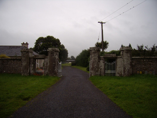 Dalyston Housegates/railings/walls · 1668 yd
 Castle (in ruins)Castle, tower house · 1.4 mi
 Stone Islands SouthIslet · 2.7 mi
 Long PointHeadland · 2.9 mi
 Island McCooIslet · 3.0 mi
 Dartfield Horse MuseumHeritage attraction · 3.9 mi
 Quarryhill WoodWood · 5.8 mi
 Scalpeen RockNamed rock · 5.9 mi