What is recorded here
Graig holds a twenty-six metre earthen ring on an east-facing slope, its bank standing eighty centimetres tall at the outer edge. The south section dips for eight metres, perhaps marking a gate where people entered or exited the small world inside. Cattle graze above the buried floor now, but the shape still excludes them from its centre. That much resistance suggests the circle was made to be seen, remembered and used.
In pasture, on E-facing slope immediately below brow of hill. Circular area (diam. 26m) enclosed by earthen bank (int. H 0.6m; ext. H 0.8m), best preserved W->N but slightly lowers at S for c. 8m. Interior, under pasture, slopes down to E.
Compiled by: Denis Power
Date of upload: 26 August 2011
The monument record does not grant public access. Check the route and ask the landowner before entering private land.
- What survives
- Recorded monument
Places near here
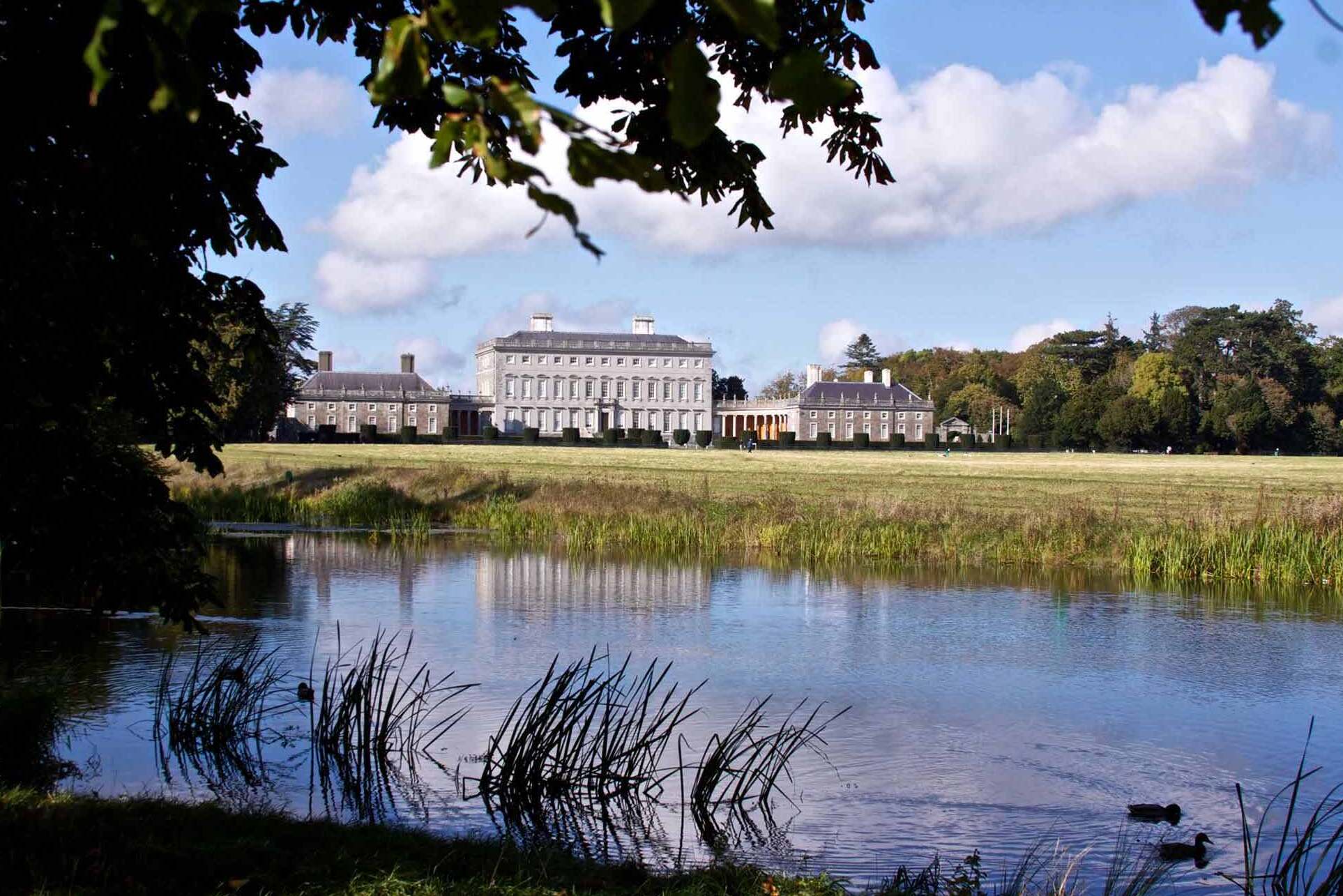 Enclosure in Castletown (connello Upper By.)Enclosure · 616 yd
 LaghgalCairn, unclassified · 709 yd
 Castletown Garda Síochána Stationgarda station/constabulary barracks · 890 yd
 Church (in ruins)Church · 1328 yd
 IndicatedCastle, motte · 1678 yd
 Castle (in ruins)Castle, hall-house · 1702 yd
 Our Lady's WellSpring · 1724 yd
 Saint Derivla's WellSpring · 1.6 mi
 KnockfeerinaMountain / peak · 3.1 mi
 Famine stoneMemorial · 3.2 mi
 European ashEuropean ash · 7.4 mi
 National Co-op MuseumMuseum · 7.5 mi