What is recorded here
Situated on a level landscape. The cropmark of a large circular enclosure (int. diam. c. 60m NW-SE; c. 58m NE-SW) defined by a fosse is visible on Apple Maps. It is also visible on OSI images (2013), and it was first reported by Paul Murphy.
See the attached view from OSI images (2013)
Compiled by: Michael Moore
Date of upload: 9 September 2020
The monument record does not grant public access. Check the route and ask the landowner before entering private land.
- What survives
- Recorded monument
Places near here
 St. Marys WellHoly well · 426 yd
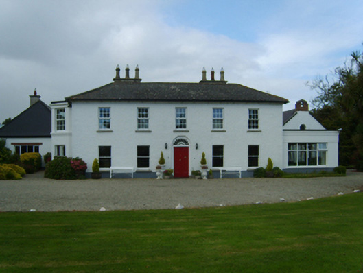 Churchtown Housefarm house · 484 yd
 Corn MillMill, corn · 489 yd
 site of ChurchChurch · 1020 yd
 CastleCastle, tower house · 1626 yd
 Birdlife of RosslareVisitor information · 1.7 mi
 Rosslare Harbour Maritime Heritage CentreMuseum · 1.8 mi
 Marconi HouseMemorial · 2.0 mi
 Rosslare Strand BeachBeach / strand · 2.8 mi
 Ballyrane Castle (in ruins)Castle, tower house · 2.9 mi
 The Fairy Stone/RockNamed rock · 3.1 mi
 Shernock Hill/Knocks HillMountain / peak · 3.3 mi