What is recorded here
Thirty metres of forgotten border still circle Gowlin, though a laneway has cut through most of the ring. The surviving southern bank rises one metre, wide enough for two people to walk side by side, while faint stone faces hint that human hands shaped the earth before time wore them smooth. Local stories call it a fairy fort, suggesting the boundaries between worlds grew thin where the soil remains unbroken.
The following description is derived from the published 'Archaeological Inventory of County Carlow' (Dublin: Stationery Office, 1993). In certain instances the entries have been revised and updated in the light of recent research.
Date of upload/revision: 17 July 2007
Approximately circular area (diam. c. 30m) defined at S by low defaced bank (int. H 1m, ext. H 0.2m; Wth c. 2.5m). Traces of stone facing visible may be modern. Laneway defines remainder of monument.
A fairy fort, or earthen ringfort in Gowlin, is a circular earthwork enclosure typical of early-medieval Ireland, likely dating to between the 5th and 10th centuries. Local tradition associates such sites with fairy folk, and they were often avoided for fear of disturbing supernatural inhabitants.
The monument record does not grant public access. Check the route and ask the landowner before entering private land.
- What survives
- Recorded monument
Places near here
 Fairy fort / stone ringfort in Ballybeg BigFairy fort / stone ringfort · 1114 yd
 Enclosure in SlievedurdaEnclosure · 1227 yd
 Marley Bridgebridge · 1.6 mi
 Kilcullaun Church (in ruins), GraveyardChurch · 1.9 mi
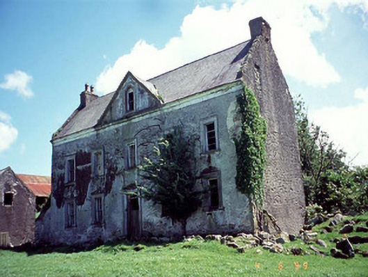 Knockduff Househouse · 2.1 mi
 The Barrow WayVisitor information · 2.3 mi
 Castle (in ruins)Castle, tower house · 2.6 mi
 ClashgannyWood · 2.6 mi
 White MountainMountain / peak · 2.7 mi
 SlievebaunMountain / peak · 2.9 mi
 Coonogue WoodForest · 3.2 mi
 General Thomas CloneyMemorial · 3.6 mi