What is recorded here
Half-swallowed by pasture and bramble, the Gortnalug ringfort keeps its shape only where memory and soil still agree. Ash trees lean into the scarp like witnesses refusing to leave, while a forgotten field boundary cuts through the southern edge as if humanity had redrawn the world without asking permission. What remains is not a ruin but a threshold: a place where the living once drew a circle around the unknown, and the unknown drew one back.
On a hillock in undulating pastureland. Poorly preserved subcircular rath (27m E-W; 23m N-S)
defined by an inner scarp, intervening fosse and outer bank. The scarp is visible from SW through N to SE and is heavily overgrown with ash trees and brambles. The fosse survives from SW through N to E. The outer bank is best preserved at SW and from N to NE; from SW to N it is defined by a low barely discernible rise. A field boundary cuts through the monument at SE and SW, to S of which no visible surface trace of the enclosing elements survives. Field-clearance rubble is piled against the monument at NE.
Compiled by: Galway Archaeological Survey, UCG
Date of upload: 5 January 2018
The monument record does not grant public access. Check the route and ask the landowner before entering private land.
- What survives
- Recorded monument
Places near here
 Sraoge FortEnclosure · 701 yd
 IndicatedFairy fort / earthen ringfort · 1280 yd
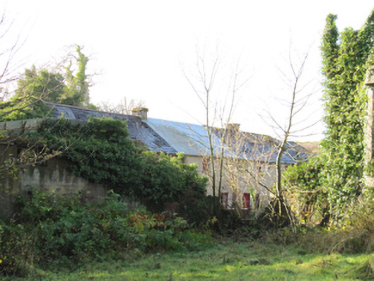 Gortnamonaoutbuilding · 1335 yd
 European YewEuropean Yew · 1395 yd
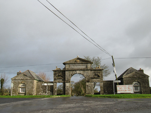 Belviewgates/railings/walls · 1487 yd
 European BeechEuropean Beech · 1740 yd
 Oghil Castle (in ruins)Castle, tower house · 2.0 mi
 Ballymore CastleCastle, tower house · 2.1 mi
 Redmond HillMountain / peak · 3.7 mi
 Ardcarn IslandsIslet · 4.7 mi
 Urraghry HillMountain / peak · 4.7 mi
 The bloody HollowHeritage attraction · 4.8 mi