What is recorded here
Forty-eight metres of packed earth still stand on the steep slope in Gortnaclohy, marking a boundary between human memory and fairy speculation. Two concentric banks and a narrow ditch enclose a level pasture where cows graze above forgotten feet. The causeway at the eastern edge invites entry, but the truncated outer wall warns that the site has already surrendered part of itself to changing fields. What was hidden there, or who hid it, has slipped into the kind of story people tell when the land refuses to explain itself.
In pasture, on break in steep E-facing slope. Circular area (diam. 48m) enclosed by two concentric earthen banks with intervening fosse (Wth 1.4m). Inner bank (int. H 0.55m; ext. H 0.7m) survives for full circuit but external bank (int. H 1.05m; ext. H .035m) survives WSW->WNW and NE->E, but is truncated by field boundary S->WSW and WNW->NE. Causeway entrance (Wth 2.4m) at ESE. Interior, which has been raised on E side to compensate for fall of ground, is under pasture and level though surface very uneven. In NW quadrant is circular raised area (diam. 17m), defined by a scarped edge (H 0.65m; Wth 2.5m), which backs up against inner face of internal bank.
Compiled by: Denis Power
Date of upload: 26 August 2011
The monument record does not grant public access. Check the route and ask the landowner before entering private land.
- What survives
- Recorded monument
Places near here
 Mass-rock in GortnaclohyMass-rock · 292 yd
 Ashford Girls' National Schoolschool · 367 yd
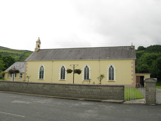 Saint Ita's Catholic Churchchurch/chapel · 409 yd
 Ballagh MountainMountain / peak · 1166 yd
 Grave YardGraveyard · 1.5 mi
 Saint Ite's WellSpring · 1.5 mi
 Dotted outlineBawn · 1.6 mi
 Glenduff CastleCastle, tower house · 2.2 mi
 Mullaghareirk - Banane LoopWalking route · 3.4 mi
 Rock HillMountain / peak · 3.7 mi
 TobereenalaffinaSpring · 5.4 mi
 Three CountiesPicnic place · 7.7 mi