What is recorded here
Fairy fort / earthen ringfort in Gortnaclohy stands in County Cork, Ireland. It contains an oval area 38m N-S and 31m E-W enclosed by an earthen bank 2.1m high. Cattle have broken the bank in several places, leaving gaps to the east and south. A stone field fence crosses the southern half of the interior. The ruin still marks a chosen place on the land, even though its builders and exact purpose have faded from local memory.
In grassland, on level topped knoll. Oval area (38m N-S; 31m E-W) enclosed by earthen bank (H 2.1m), with numerous cattle breaks. Gap in bank to E and S. Stone field fence running E-W crosses S half of interior.
The above description is derived from the published 'Archaeological Inventory of County Cork. Volume 1: West Cork' (Dublin: Stationery Office, 1992). In certain instances the entries have been revised and updated in the light of recent research.
Date of upload/revision: 14 January 2009
The monument record does not grant public access. Check the route and ask the landowner before entering private land.
- What survives
- Recorded monument
Places near here
 Burial GdBurial ground · 716 yd
 WindmillRuins · 723 yd
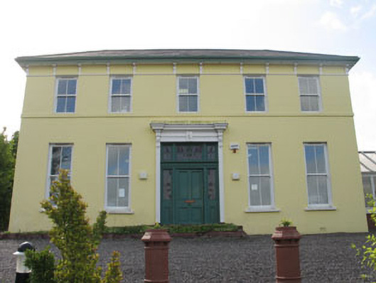 Norton Househouse · 768 yd
 Bishop MahonyMemorial · 873 yd
 Site of CastleCastle, unclassified · 965 yd
 Wild Atlantic WayVisitor information · 1090 yd
 Man-made underground passage in LurrigaMan-made underground passage · 1295 yd
 Heritage CentreMuseum · 1417 yd
 Coolngrane Fairy FortFort · 1643 yd
 Irish Sky GardenHeritage attraction · 1.5 mi
 Tober an IarainnSpring · 1.6 mi
 Giant's GraveArchaeological place · 2.7 mi