What is recorded here
Thirty-one metres of packed earth still stand in Gortnacleigh, a rounded chamber waiting for the person who last left a lantern burning inside. The ne entrance wears a shallow causeway, as if the fort still expects visitors rather than guarding them from everyone. Local people call it a fairy fort, which means the boundary between human memory and fairy time has never fully closed.
Raised circular area (int. dims. 31.2m) enclosed by a substantial earthen bank and a fosse. An earlier report (OPW 1969) recorded slight traces of an external bank at NW, ESE and SE. Break in bank with accompanying causeway at NE probably represents original entrance.
The above description is derived from the published 'Archaeological Inventory of County Cavan' (Dublin: Stationery Office, 1995). In certain instances the entries have been revised and updated in the light of recent research.
Date of upload/revision: 22 December 2008
The monument record does not grant public access. Check the route and ask the landowner before entering private land.
- What survives
- Recorded monument
Places near here
 Cloncose FortFairy fort / earthen ringfort · 635 yd
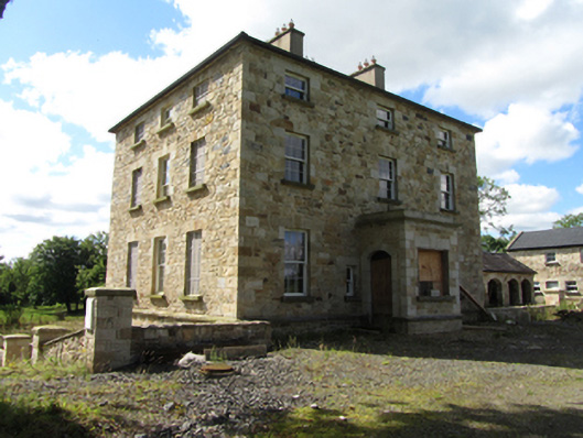 Drumlane Rectoryrectory/glebe/vicarage/curate's house · 732 yd
 Drumkerril National Schoolschool · 820 yd
 TobermogueHoly well · 1618 yd
 DerrybrickMountain / peak · 1.1 mi
 Drumlane AbbeyHeritage attraction · 1.3 mi
 Drumbagh ForestForest · 1.4 mi
 Pedunculate OakPedunculate Oak · 1.7 mi
 InishmuckIsland · 2.2 mi
 Killeshandra Irish Countrywomen's Association 70th AnniversaryMemorial · 2.3 mi
 ArdanMountain / peak · 2.3 mi
 Clogh Oughter CastleCastle, Anglo-Norman masonry castle · 2.5 mi