What is recorded here
Closed chapters contain the facts already given.
Situated on a rise at the bottom of a steep NW-facing slope and on the flood plain of an E-W section of the Finn River, with a SE-NW part of the stream c. 50m to the NE. It is depicted as a small circular feature (diam. c. 20m) on the 1834 edition of the OS 6-inch map and as a larger feature with an outer fosse NE-S-W and incorporating a field bank W-NE on the 1907 edition. The monument was removed before 1968 but was then visible as a slightly raised and circular grass-covered area (diam. 18.25m E-W; 17.5m N-S) defined by a fosse feature visible as a band of richer vegetation (max. Wth 3.8m). It is visible faintly as an enclosure defined by two fosse features (max. ext. diam. c. 60m) on aerial images from 1995 (OSAP).
The above description is derived from the published 'Archaeological Inventory of County Monaghan' (Dublin: Stationery Office, 1986). In certain instances the entries have been revised and updated in the light of recent research.
Revised by: Michael Moore
Date of revision: 8 May 2018
The monument record does not grant public access. Check the route and ask the landowner before entering private land.
- What survives
- Recorded monument
Places near here
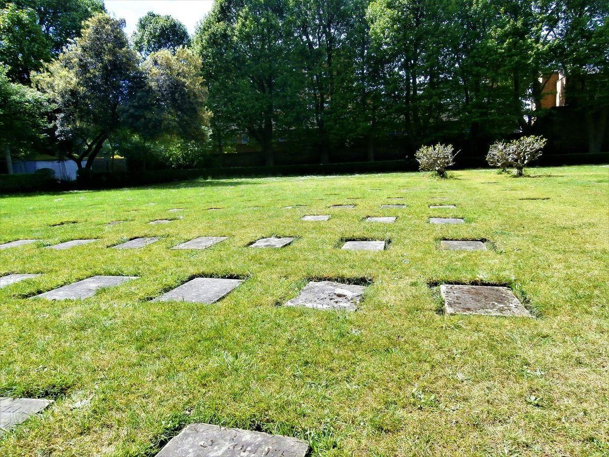 Children's burial ground in GortgranardChildren's burial ground · 140 yd
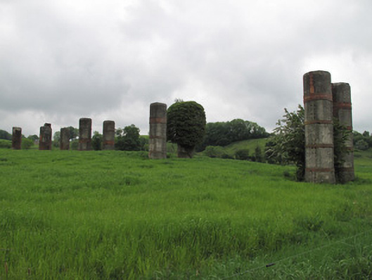 viaductviaduct · 404 yd
 Enclosure in EllinureEnclosure · 628 yd
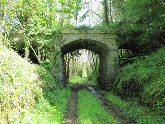 bridgebridge · 863 yd
 Saint John's WellSpring · 1512 yd
 Common LimeCommon Lime · 1611 yd
 KillycoonaghWood · 1.0 mi
 Abbey RuinsHeritage attraction · 1.7 mi
 Bawn in CrossmoyleBawn · 1.7 mi
 The Cassandra Hand CentreMuseum · 1.7 mi
 CastleCastle, motte and bailey · 1.8 mi
 Jaundice WellSpring · 3.1 mi