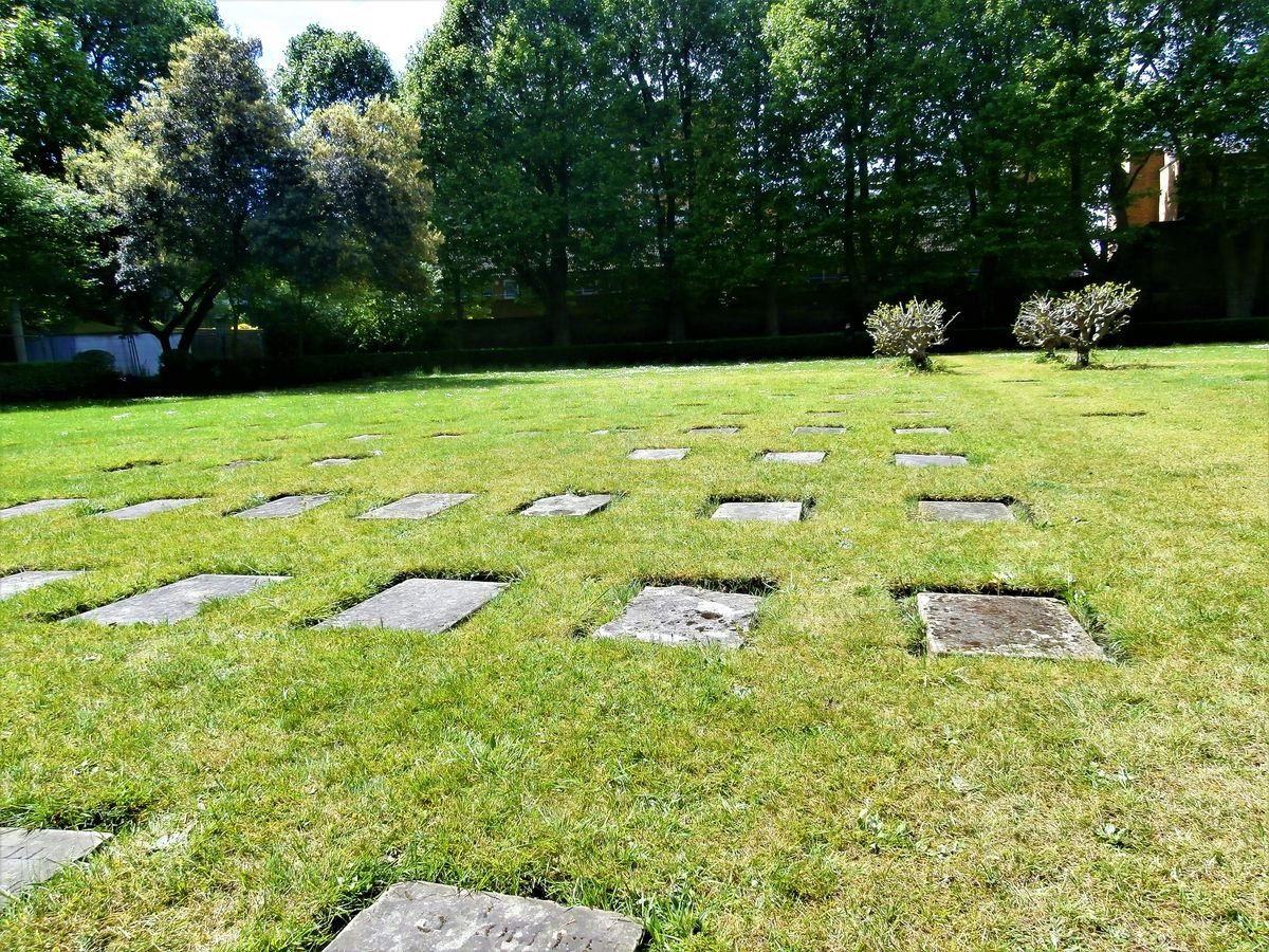
What is recorded here
Located on a small rise at the bottom of a steep NW-facing slope and on the flood-plain of an E-W section of the Finn River which is c. 160m to the N. This was described in 1942 as a circular raised area (diam. c. 14m) defined by an earthen bank or scarp (H c. 2.1-2.4m-and an outer fosse (Wth of top c. 2m; ext. D c. 0.9m), which was known locally as a childrens’ burial ground (SMR file). It had been removed by 1995 (OSAP).
The above description is derived from the published 'Archaeological Inventory of County Monaghan' (Dublin: Stationery Office, 1986). In certain instances the entries have been revised and updated in the light of recent research.
Revised by: Michael Moore
Date of revision: 8 May 2018
The monument record does not grant public access. Check the route and ask the landowner before entering private land.
- What survives
- Recorded monument
Places near here
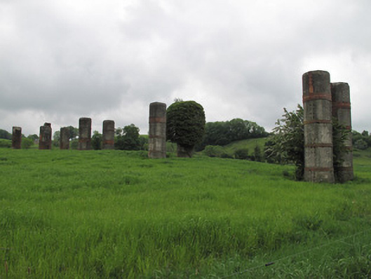 viaductviaduct · 519 yd
 Enclosure in EllinureEnclosure · 556 yd
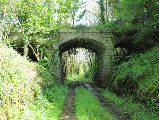 bridgebridge · 924 yd
 IndicatedEnclosure · 949 yd
 Saint John's WellSpring · 1639 yd
 Common LimeCommon Lime · 1712 yd
 KillycoonaghWood · 1.1 mi
 Abbey RuinsHeritage attraction · 1.7 mi
 Bawn in CrossmoyleBawn · 1.7 mi
 The Cassandra Hand CentreMuseum · 1.8 mi
 CastleCastle, motte and bailey · 1.9 mi
 Jaundice WellSpring · 3.2 mi
Other information
Photo: Credit not shown in the picture search · Rights wording not checked; contact us if this picture should be removed