What is recorded here
That is the Irish word for a ringfort, a circular home or refuge marked by a bank and ditch rather than a tall stone wall. Rath appears across Ireland in field names and local memory, recording ordinary human occupation long before museums or borders.
On a slight terrace on the N slope of a river valley, in rolling pasture. There are good views to E, S and W but monument is overlooked by higher land to the N. The monument is indicated as an oval enclosure (overall dims. c. 40m N-S; c. 48m E-W) on the 1st (1839) ed. OS 6-inch map with a NW-SE field boundary running into the N quadrant and a N-S field boundary running into the S quadrant. On the 1900 ed. of the OS 6-inch map the W side appears to be truncated by a field boundary and the E half has been incorporated into a field boundary, resulting in a roughly rectangular area being defined (dims. c. 45m N-S and NE-SW), enclosed by a slight earth and stone bank, which is partially incorporated into the later field walls.
Compiled by: Jean Farrelly
Date of upload: 24 October 2017
The monument record does not grant public access. Check the route and ask the landowner before entering private land.
- What survives
- Recorded monument
Places near here
 Enclosure in GorteennamuckEnclosure · 471 yd
 Holy well in GorteennamuckHoly well · 498 yd
 Mill (in ruins)Water mill, unclassified · 673 yd
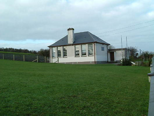 Creenkill National Schoolschool · 1538 yd
 Street fieldArchaeological place · 1.3 mi
 Glashare CastleCastle, tower house · 1.4 mi
 CastleCastle, tower house · 2.1 mi
 Clomantagh HillMountain / peak · 2.5 mi
 DelaneyMemorial · 3.2 mi
 John HelyMemorial · 3.2 mi
 The CopseWood · 4.9 mi
 Anker's IslandIsland · 6.2 mi