What is recorded here
Half a mile from the last house, two earthen banks still hold a thirty-four metre circle in Cork pasture. The outer bank wears stone like a cuff, the inner bank has surrendered to grass, and a man-made passage disappears beneath the floor. People called it a fairy fort because the shape refused to explain itself, but the underground hole suggests human hands, human breath, human fear of the dark.
In pasture. Circular area (diam. 34m) defined by two earthen banks with intervening fosse. Outer bank (H 1m) stone-faced externally. Both bank sheavily overgrown and eroded away in parts. Entrance to E (Hartnett 1939, 285). Man-made underground passage (8893) in interior.
The above description is derived from the published 'Archaeological Inventory of County Cork. Volume 3: Mid Cork' (Dublin: Stationery Office, 1997). In certain instances the entries have been revised and updated in the light of recent research.
Date of upload/revision: 14 January 2009
The monument record does not grant public access. Check the route and ask the landowner before entering private land.
- What survives
- Recorded monument
Places near here
 Burial ground in GortdonaghmoreBurial ground · 850 yd
 Loughane Cottagehouse · 946 yd
 St Joseph's Roman Catholic Churchchurch/chapel · 1029 yd
 Mass-rock in GortdonaghmoreMass-rock · 1062 yd
 Castle (in Ruins)Castle, tower house · 1.8 mi
 Ballyanly Inniscarra Slí na SláinteWalking route · 1.8 mi
 Ballyvodane Castle (in Ruins)Castle, unclassified · 2.6 mi
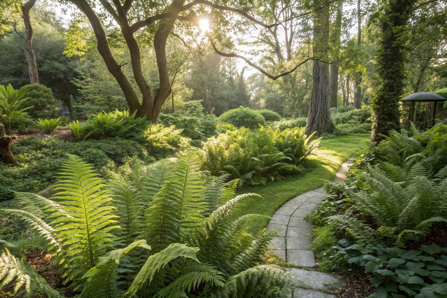 Fern GardenHeritage attraction · 3.2 mi
 Pakie HoganMemorial · 3.2 mi
 BatsVisitor information · 3.2 mi
 Western RedcedarWestern Redcedar · 3.4 mi
 Waterloo Loop WalkWalking route · 3.4 mi