What is recorded here
No visible trace remains at Gortatoor, though local memory still shapes the lost earth into a fairy fort. That unnamed circle may have held a human home, a boundary marker or a worship place before folklore took it over. The disappearance does not weaken the story; it removes the modern claim to understand every angle at once.
The Archaeological Survey of Ireland (ASI) is in the process of providing information on all monuments on The Historic Environment Viewer (HEV). Currently the information for this record has not been uploaded. To access available information for research purposes please make an appointment in advance with the Archive Unit (open Fridays 10.00 am – 5.00 pm), Department of Housing, Local Government and Heritage, The Custom House, Dublin 1 D01W6XO or email NMarchive@housing.gov.ie.
The monument record does not grant public access. Check the route and ask the landowner before entering private land.
- What survives
- Recorded monument
Places near here
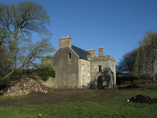 Heathfield Housefarm house · 426 yd
 IndicatedEnclosure · 508 yd
 Enclosure in AghaleagueEnclosure · 1240 yd
 Church (in Ruins)Church · 1.6 mi
 Lisheen Grave YardArchaeological place · 1.6 mi
 Castle (in Ruins)Castle, tower house · 2.3 mi
 Bawn in CarrickanassBawn · 2.4 mi
 Ballycastle BeachBeach / strand · 2.8 mi
 PollatarriveCliff · 3.2 mi
 WW2 Éire MarkerHeritage attraction · 4.0 mi
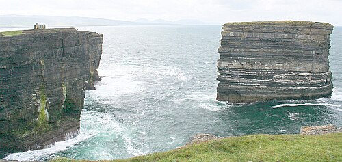 Downpatrick HeadHeadland · 4.0 mi
 TrabaunBeach / strand · 4.5 mi