What is recorded here
Half a football pitch across, the fort stands as a solid earthen ring. Modern roads skirt its western edge and field boundaries swallow part of the bank, yet the eastern gap remains open like a doorway. People may have lived there before maps existed, or perhaps the fairies simply claimed the circle and waited for human traffic to pass. Either way, the earth still holds its shape while the world rearranges itself around it.
Not marked on OS 1836 or 1876 eds. Raised circular area (int. diam. c. 28m) enclosed by a substantial earthen bank and slight traces of a fosse. From SW-W-NW the perimeter has been incorporated into the field boundary and is skirted by a modern roadway. Break in bank at SE may represent original entrance.
The above description is derived from the published 'Archaeological Inventory of County Cavan' (Dublin: Stationery Office, 1995). In certain instances the entries have been revised and updated in the light of recent research.
Date of upload/revision: 22 December 2008
The monument record does not grant public access. Check the route and ask the landowner before entering private land.
- What survives
- Recorded monument
Places near here
 Enclosure in MullaghahyEnclosure · 235 yd
 IndicatedFairy fort / earthen ringfort · 283 yd
 Giant's GraveArchaeological place · 435 yd
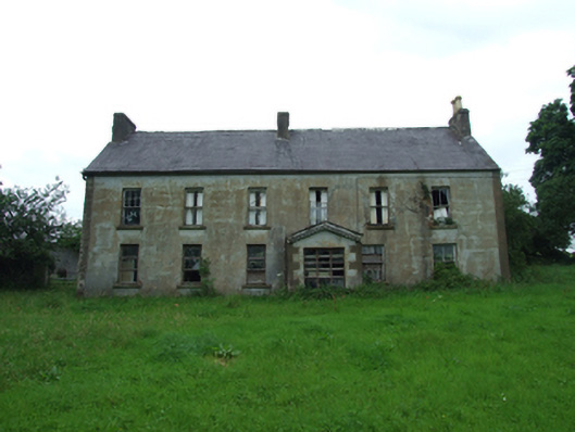 Upper Thornhill Househouse · 1048 yd
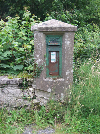 post boxpost box · 1211 yd
 Tuam IslandIslet · 1439 yd
 Port IslandCastle, Anglo-Norman masonry castle · 1673 yd
 Kilrooscagh IslandIslet · 1.1 mi
 BarranMountain / peak · 1.6 mi
 Lough MacNean WalkWalking route · 1.7 mi
 CorrevanMountain / peak · 2.0 mi
 Teampull RuisínHeritage attraction · 2.1 mi