What is recorded here
Rabbitte's Fort in Gortaleam is a quarried circular rath, thirty-two metres across, defined by a bank and external fosse on a north-facing slope. The earth was taken at three points, leaving a broken ring that still catches the eye in undulating grassland. It is not a grand ruin but a shallow scar, the kind of place where human hands shaped the land and time or greed shaped it back.
On N-facing slope of a hill in undulating grassland. Known locally as 'Rabbitte's Fort' (Neary 1914, 117, no. 33), this very poorly preserved circular rath (D 32m) is defined by a bank and external fosse. The monument has been quarried out at ENE, SE and W.
The above description is derived from the published 'Archaeological Inventory of County Galway Vol. II - North Galway'. Compiled by Olive Alcock, Kathy de hÓra and Paul Gosling (Dublin: Stationery Office, 1999).
Date of upload: 05 August 2010
The monument record does not grant public access. Check the route and ask the landowner before entering private land.
- What survives
- Recorded monument
Places near here
 Crucamaohalle FortFairy fort / earthen ringfort · 1021 yd
 Man-made underground passage in BallintavaMan-made underground passage · 1322 yd
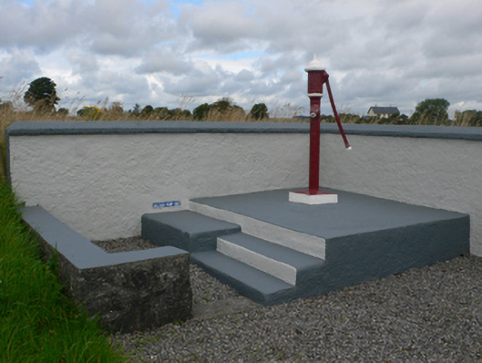 water pumpwater pump · 1596 yd
 Quarry in CastleQuarry · 1.1 mi
 Castle in ruinsCastle, unclassified · 1.4 mi
 Slieve DartMountain / peak · 2.3 mi
 Dunmore CastleCastle · 3.1 mi
 Site of Killomaine Grave YardArchaeological place · 9.7 mi
 European ashEuropean ash · 11 mi
 Enclosure in LissyconorEnclosure · 1352 yd
 Bellwell FortFairy fort / ringfort · 1440 yd
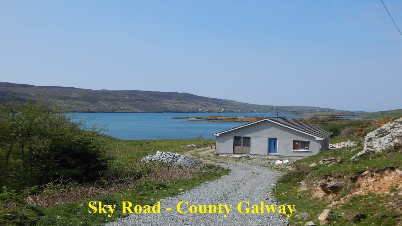 LissabrollaunFairy fort / earthen ringfort · 1479 yd