What is recorded here
Fairy fort / earthen ringfort in Gortakeeran is a fairy fort or earthen ringfort in Gortakeeran, County Sligo, Ireland. It occupies a small level terrace in rocky pasture on a gentle south-facing slope. A 1994 inspection found an earthen arc overgrown with hawthorn bushes and faced internally with drystone walling. The east half of the possible rath no longer survives, while a large slab protrudes from the western interior.
In rocky pasture, on a small level terrace, on a gentle S-facing slope. Inspected in 1994, an arc of earthen bank (Wth 6.2m; int. H 1.2m; ext. H 1.8m) was evident S-N, overgrown with hawthorn bushes and with internal facing of drystone walling. This may be the remains of a rath (38m N-S), the E half of which does not survive. A large slab (possibly bedrock) protruded from the ground in the W half of the interior. There are roads immediately to N and E. A possible rath (SL025-006----) lies c. 40m to E.
The above description is derived from the published 'Archaeological Inventory of County Sligo' compiled by Ursula Egan, Elizabeth Byrne, Mary Sleeman with Sheila Ronan and Connie Murphy (Dublin Stationery Office, 2005).
Date of revision: 22 April 2010
The monument record does not grant public access. Check the route and ask the landowner before entering private land.
- What survives
- Recorded monument
Places near here
 IndicatedEnclosure · 278 yd
 Cabragh Wedge TombArchaeological place · 1036 yd
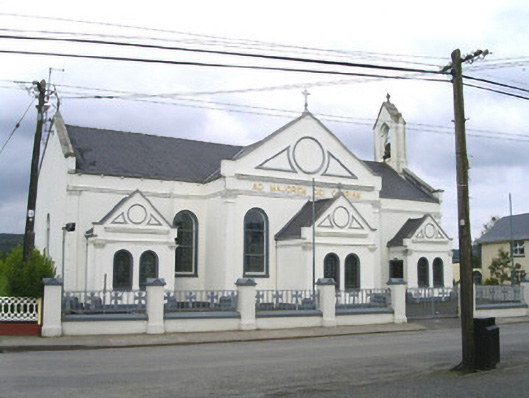 Catholic Church of the Sacred Heart and Saint Josephchurch/chapel · 1.6 mi
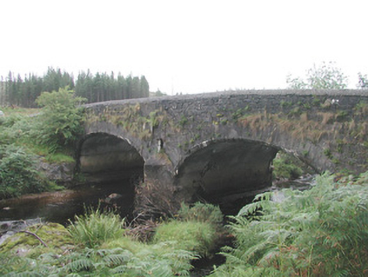 Carha Bridgebridge · 1.6 mi
 CloonaghMountain / peak · 1.8 mi
 Pigeonpark WoodForest · 2.7 mi
 DoomoreMountain / peak · 2.9 mi
 Valley WoodForest · 2.9 mi
 Bawn in Longford DemesneBawn · 3.0 mi
 Moymlough Castle (in Ruins)Castle, tower house · 3.8 mi
 Giant's GraveArchaeological place · 4.1 mi
 Derinch PointHeadland · 4.5 mi