What is recorded here
Situated on the W facing slope at the W end of an E-W ridge with the half of the monument incorporated into Gortakeeghan wood. This is an oval area (max. dim. c. 27m), defined on the N, S and E sides by a flat topped earthen bank (H c. 1.2m) and an external fosse (Wth c. 2.5m). A modern field boundary, aligned NNE-SSW, cuts through the centre. West of this field boundary the monument has been removed although there are still slight traces of the fosse (CRDS 1998, 33). Archaeological testing (06E0234) in an extensive area just to the W produced no related material (Lynch 2009).
Date of upload: 14 April 2011
Amended: 14 January 2020
This remains an important historical record, but the official description says the monument is no longer visible or has been destroyed. The monument record does not grant public access. Check the route and ask the landowner before entering private land.
- What survives
- No visible remains or recorded as destroyed
Places near here
 Megalithic tomb in GortakeeghanMegalithic tomb · 297 yd
 Banba GiantHeritage attraction · 451 yd
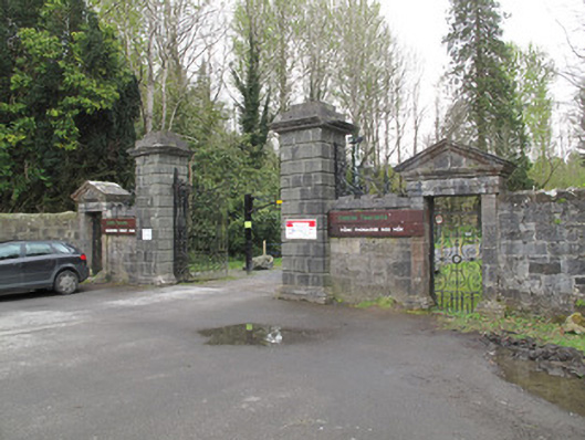 Rossmore Castlegates/railings/walls · 463 yd
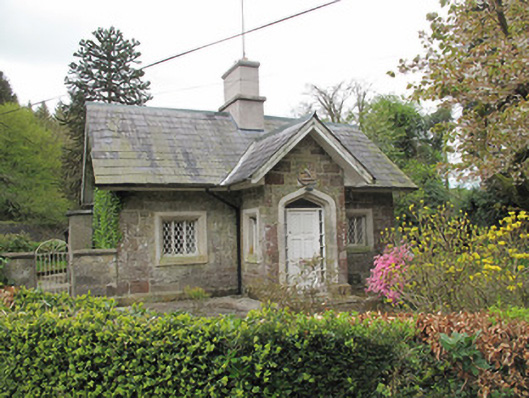 Camla Housegate lodge · 486 yd
 Mullaghmatt ForestWood · 753 yd
 The BarnHeritage attraction · 790 yd
 Cortolvin ForestWood · 896 yd
 IndicatedFairy fort / earthen ringfort · 1077 yd
 Bawn in Roosky (monaghan By., Monaghan Par.)Bawn · 1.4 mi
 Rossmore MonumentMemorial · 1.4 mi
 Rough HillMountain / peak · 2.8 mi
 Castleshane WaterfallWaterfall · 4.6 mi