What is recorded here
Gorraun holds a broken ring on a narrow ridge, its earthen bank surviving only from the north to the east while the rest has vanished into the upland grass. The uneven ground inside still slopes west to east, preserving the shape of a small fortified life even though the wall that once excluded strangers has largely surrendered to time. People may have stood there in rain, watched the valley, or left before the land forgot them. What remains is not a complete fortress but a circular shadow, deep enough to suggest that the ridge was claimed, shaped and lived upon.
Situated on the E face of a N-S ridge in upland area. Roughly circular area (diam 26.5m N-S) enclosed by a poorly preserved bank which is only visible from N to E elsewhere destroyed. The interior of the site is very uneven and slopes from W to E. Possible ringfort.
The above description is derived from the published 'Archaeological Inventory of County Offaly' (Dublin: Stationery Office, 1997). In certain instances the entries have been revised and updated in the light of recent research.
Date of upload: 23 May 2011
The monument record does not grant public access. Check the route and ask the landowner before entering private land.
- What survives
- Recorded monument
Places near here
 IndicatedKiln, lime · 627 yd
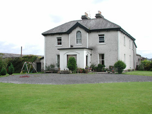 Killavilla Househouse · 925 yd
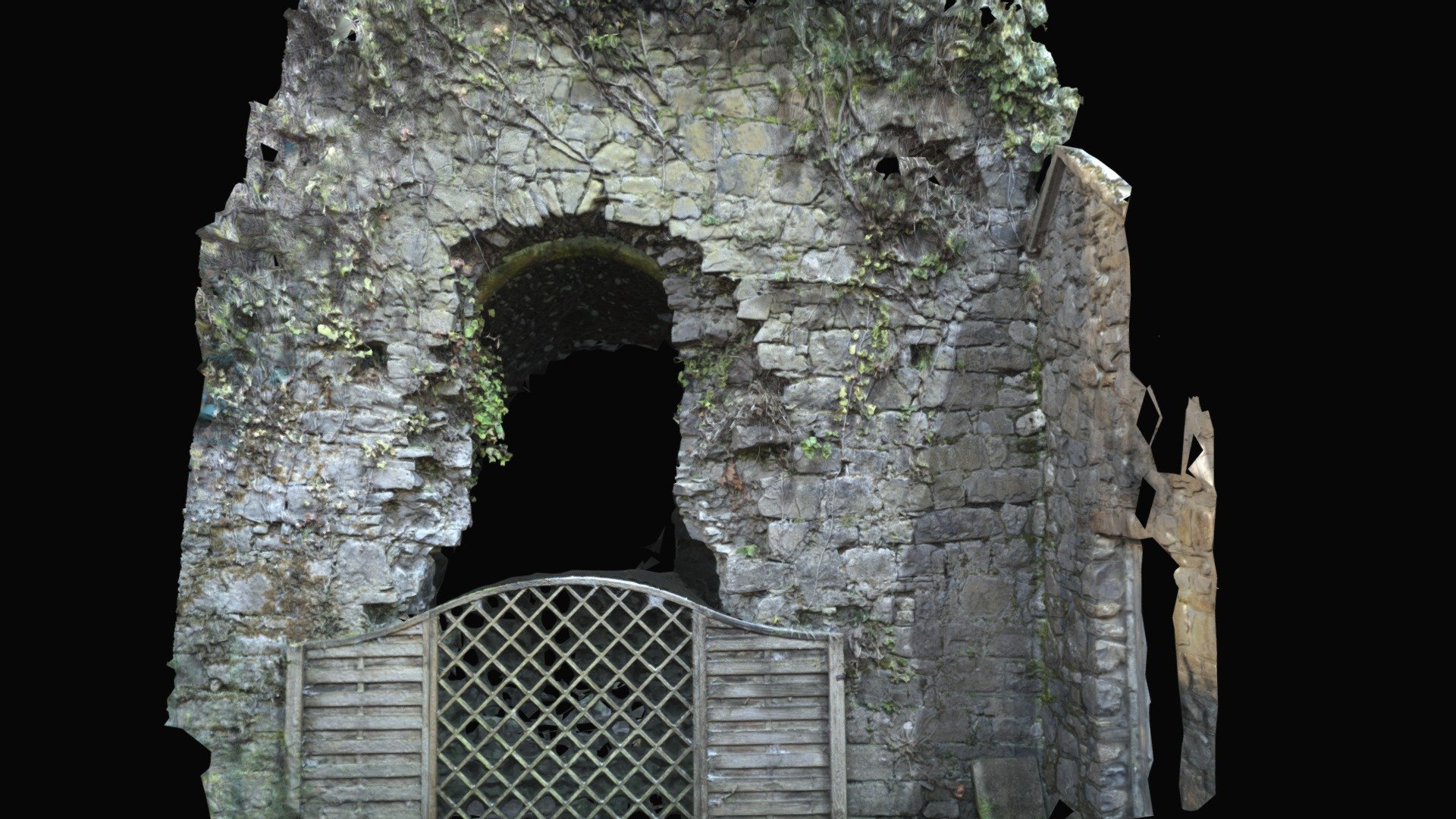 Enclosure in Keeloge (ballybrit By.)Enclosure · 966 yd
 Children's burial ground in KillavillaChildren's burial ground · 1011 yd
 CastleCastle, ringwork · 1551 yd
 Saint Kieran's WellSpring · 1.2 mi
 Bawn in DungarBawn · 1.8 mi
 Millennium GardenMemorial · 1.9 mi
 European YewEuropean Yew · 2.3 mi
 European BeechEuropean Beech · 2.5 mi
 Roscrea Petty Sessions HouseHeritage attraction · 2.9 mi
 Golden Grove HillMountain / peak · 3.2 mi