What is recorded here
Fairy fort / earthen ringfort in Glenreagh More is a fairy fort or earthen ringfort in Glenreagh More, County Tipperary, Ireland. The circular enclosure spans about 25 metres and sits on a southwest-facing slope. A bank is visible only at the south, while the rest of the circuit has reduced to a 1.86-metre-high scarp. Nettles, scrub and discarded clearing material obscure the edge and hide a possible outer ditch.
Situated on a SW-facing slope in gently undulating terrain. The site is heavily overgrown with nettles and scrub and scrub cleared from around the edge has been left up against the outer face of the bank making access difficult. A circular area (diam. c. 25m) enclosed by a bank visible at S only, elsewhere reduced to a scarp (H 1.86m). A possible outer fosse indicated on the latest ed. (1952-3) OS 6-inch map is obscured by dumps of clay, dead wood and nettles.
The above description is derived from 'The Archaeological Inventory of County Tipperary. Vol. 1 - North Tipperary' compiled by Jean Farrelly and Caimin O'Brien (Dublin: Stationery Office, 2002). In certain instances the entries have been revised and updated in the light of recent research.
Date of upload/revision: 22 September 2008
The monument record does not grant public access. Check the route and ask the landowner before entering private land.
- What survives
- Recorded monument
Places near here
 Enclosure in LisnagroughEnclosure · 719 yd
 LisnagroughFairy fort / earthen ringfort · 932 yd
 Church Househouse · 1607 yd
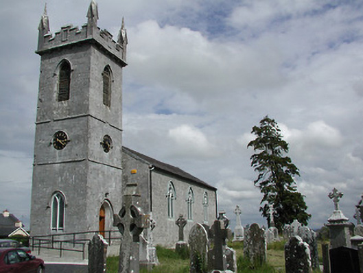 Holycross Churchchurch/chapel · 1692 yd
 IndicatedBawn · 1.0 mi
 Beakstown HouseCastle, unclassified · 1.1 mi
 Cormackstown Heritage CentreMuseum · 1.2 mi
 Wildlife CorridorWood · 3.5 mi
 Killough Hill (site of)Mountain / peak · 3.6 mi
 Lár na PáirceMuseum · 3.8 mi
 WoodlandWood · 3.8 mi
 KnockaneMountain / peak · 4.1 mi