What is recorded here
Fairy fort / earthen ringfort in Glenreagh More is a fairy fort or earthen ringfort in Glenreagh More, County Tipperary, Ireland. The oval enclosure measures 50.5 metres north-south and 40.5 metres east-west, with an inner bank 3 metres wide, a flat-bottomed ditch 4.5 metres wide and 1.45 metres deep, and an outer bank 2.6 metres wide. The inner and outer banks reduce to a scarp on the south side, where basal stones mark the inner line of the inner bank. A gap in the outer bank at the southwest gives tractor access to the interior, though no definite entrance feature was identified.
Situated on a very gentle S-facing slope in gently undulating terrain. An oval area (diam. 50.5m N-S; 40.5m E-W) defined by a bank (Wth 3m; int. H 0.74m; ext. H 1.53m), a wide flat-bottomed fosse (Wth 4.5m; D 1.45m) and an outer bank (Wth 2.6m; ext. H 1.45m). A trackway skirts the NW portion of the site. The inner and outer banks are both reduced to a scarp at S with basal stones marking the inner line of the inner bank. There are traces of internal revetment, particularly intact in the NW quadrant. A gap in the outer bank at SW gives tractor access to the interior but no definite entrance feature was identified. The outer bank appears to have been augmented when used as a field boundary. A feeder is used on the site in winter.
The above description is derived from 'The Archaeological Inventory of County Tipperary. Vol. 1 - North Tipperary' compiled by Jean Farrelly and Caimin O'Brien (Dublin: Stationery Office, 2002). In certain instances the entries have been revised and updated in the light of recent research.
Date of upload/revision: 22 September 2008
The monument record does not grant public access. Check the route and ask the landowner before entering private land.
- What survives
- Recorded monument
Places near here
 Enclosure in LisnagroughEnclosure · 895 yd
 LisnagroughFairy fort / earthen ringfort · 1092 yd
 Church Househouse · 1523 yd
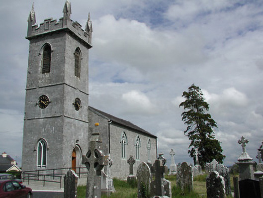 Holycross Churchchurch/chapel · 1597 yd
 Beakstown HouseCastle, unclassified · 1.2 mi
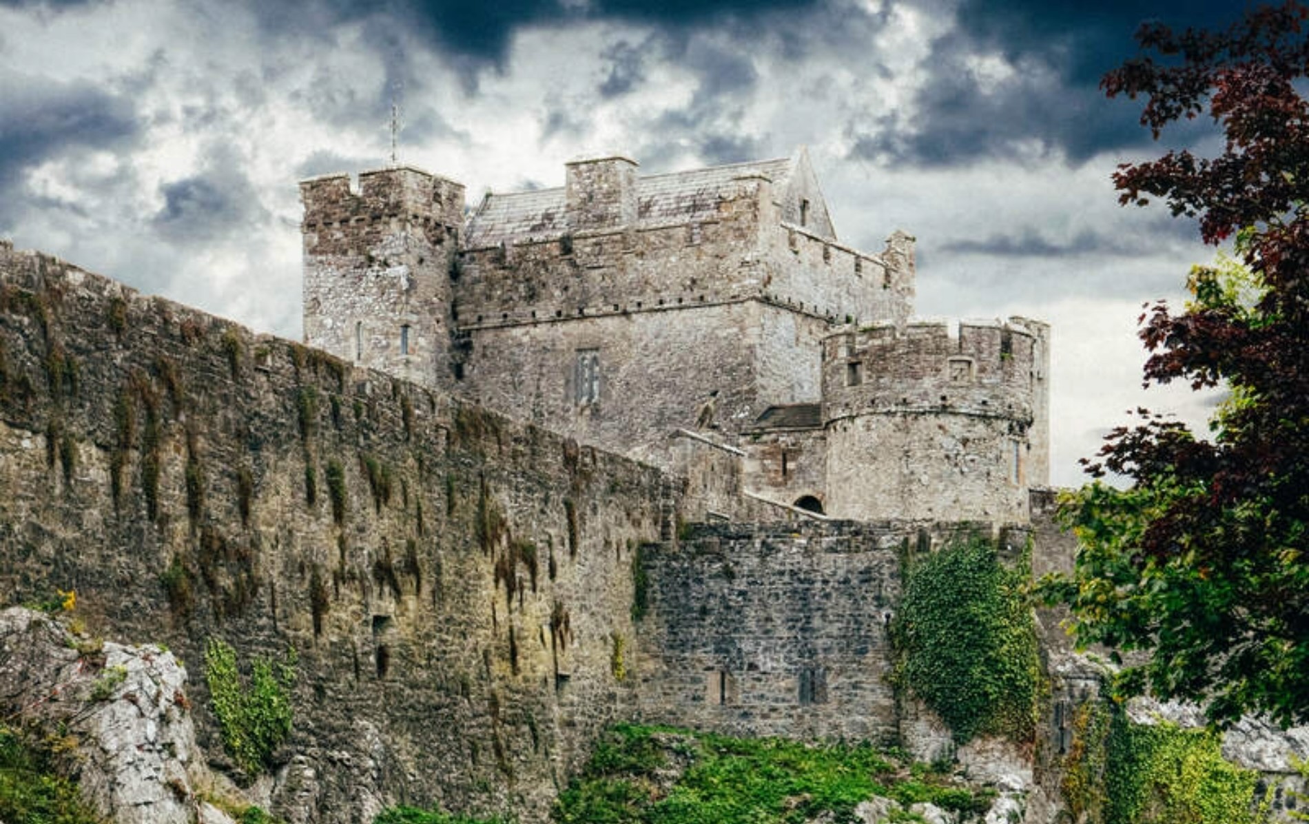 Castle (Site of)Castle, unclassified · 1.4 mi
 Cormackstown Heritage CentreMuseum · 1.5 mi
 Killough Hill (site of)Mountain / peak · 3.4 mi
 Wildlife CorridorWood · 3.7 mi
 Clonoulty HillMountain / peak · 4.0 mi
 WoodlandWood · 4.0 mi
 Lár na PáirceMuseum · 4.0 mi