What is recorded here
Glenfield South is a place where the boundary between human and fairy becomes a living question. The fort may have been a human dwelling, a fairy trap, or a boundary marker for both kinds of life. That uncertainty is not a flaw in the story; it is the shape of the story.
According to Bowman (1934, 625) levelled single-ramparted fort (diam. c. 40yd) on Michael O'Regan's land. Exact loaction not known; Glenfield South is divided between three OS 6-inch maps (007, 015 and 016).
The above description is derived from the published 'Archaeological Inventory of County Cork. Volume 4: North Cork' (Dublin: Stationery Office, 2000). In certain instances the entries have been revised and updated in the light of recent research.
Date of upload/revision: 14 January 2009
The monument record does not grant public access. Check the route and ask the landowner before entering private land.
- What survives
- Recorded monument
Places near here
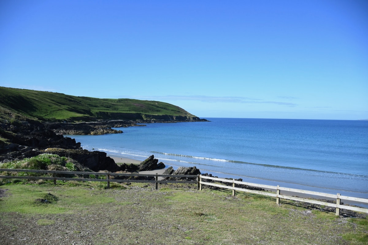 Mound in Glenfield NorthMound · 612 yd
 Enclosure in Glenfield SouthEnclosure · 742 yd
 Liscarroll CastleCastle · 1.0 mi
 Battle of LiscarrollMajor battlefield · 1.0 mi
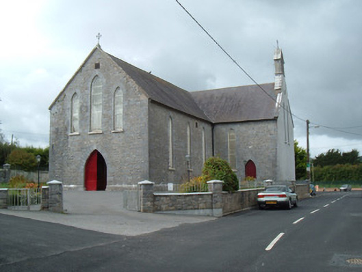 Saint Joseph's Churchchurch/chapel · 1.0 mi
 Ch (in Rns)Church · 1.1 mi
 Castle (Site of)Castle, unclassified · 2.4 mi
 Windmill HillMountain / peak · 3.2 mi
 Churchtown TrailsVisitor information · 4.0 mi
 Lady's WellSpring · 4.2 mi
 Ballyhoura WayWalking route · 4.5 mi
 National Co-op MuseumMuseum · 5.9 mi