What is recorded here
Situated on a slight S-facing slope, in gently undulating wet upland pasture. Raised roughly oval area (dims. 26m N-S; 18m E-W) enclosed by a scarp of earth (ext. H 0.6m). There is no fosse visible at ground level. Field drains, now relic and largely silted up, have been dug at the external base of the scarped edge on all sides. From WSW-NE the edge of the site has been straightened off and a bank of spoil from the drain dumped on top of the scarped edge. The original line of the edge of the site is preserved NE-SE and a bank of spoil has been dumped on top of the scarped edge. The original entrance is not recognisable. The interior undulates irregularly.
Compiled by: Patrick F. O'Donovan
Date of upload: 21 April 2011
The monument record does not grant public access. Check the route and ask the landowner before entering private land.
- What survives
- Recorded monument
Places near here
 Gleniff Barytes MineRuins · 1.0 mi
 Glencar Lough ViewpointViewpoint · 1.1 mi
 Noble 6 MonumentMonument · 1.2 mi
 Enclosure in CollinsfordEnclosure · 1.3 mi
 Kings MountainMountain / peak · 1.6 mi
 Copes MountainMountain / peak · 1.7 mi
 Glencar WaterfallVisitor information · 2.0 mi
 Glencar IslandIslet · 2.0 mi
 Doneen WestCliff · 2.2 mi
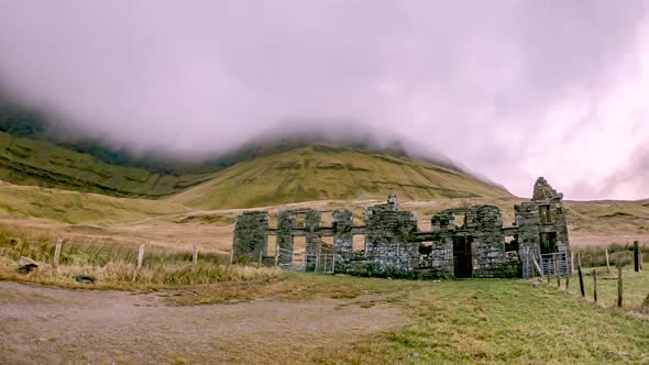 Gleniff School RuinsRuins · 2.2 mi
 Dermot & Grania's BedCave · 2.2 mi
 Memorial Francis FinnMemorial · 2.3 mi