What is recorded here
Gleann Seanchoirp holds a bivallate rath on a knoll above the Owenmore valley, its twenty-four metre circle still carrying two faint entrances and a hidden underground passage. The fort faced every direction except north, where Brandon mountains watched back, suggesting human builders valued awareness as much as defence. A rectangular house later became part of field walls, yet the sealed chamber beneath remains closed, preserving whatever purpose it once served.
Internal diam. c. 24m
A bivallate rath KE034-137---- and Man-made underground passage KE034-137001- situated on the summit of a natural knoll which commands an excellent view in all directions except to N where the site is overlooked by the Brandon mountain range. About 50m to S, the Owenmore river flows E to meet the Cloghane river on the floor of the Owenmore valley which extends NE to Brandon Bay. Marked on the 1st edition of the OS map as a single-banked enclosure with a rectangular building within, the site survives as a circular mound or platform with entrances to NE and NW. These measure 4m and 2.7m in width respectively but are not well-defined. An outer fosse and bank are preserved along the W side only. The outer bank is barely perceptible. The interior of the fort is a maximum of 2.5m above the base of the fosse, but to N the platform rises only 1m above the surrounding field.
The site is traversed by 2 field walls which meet at the SSW edge of the platform. The foundations of the rectangular house KE034-137002- marked on the OS maps have been incorporated into this field boundary system. The house measures 9.5m x 4m. A Man-made underground passage located towards the SE edge of the platform is not now accessible. A narrow opening in the roof provides a very limited view of a drystone-built chamber or passage.
The above description is derived from J. Cuppage, ‘Corca Dhuibhne. Dingle Peninsula archaeological survey. Ballyferriter. Oidhreacht Chorca Dhuibhne’ (1986), no. 442. In certain instances the entries have been revised and updated in the light of recent research.
Date of upload: 7 August 2013
The monument record does not grant public access. Check the route and ask the landowner before entering private land.
- What survives
- Recorded monument
Places near here
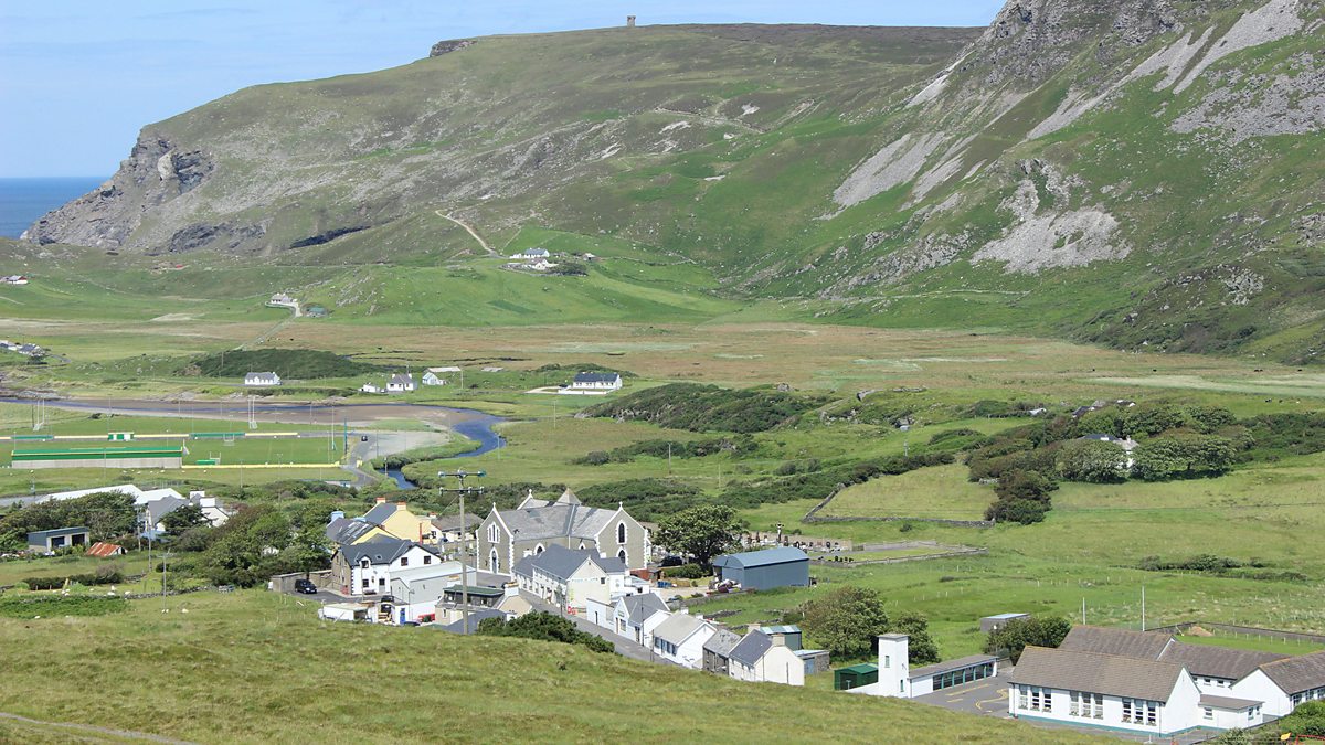 Man-made underground passage in Gleann SeanchoirpMan-made underground passage · 568 yd
 Enclosure in Gleann SeanchoirpEnclosure · 610 yd
 Barr an GhéaráinMountain / peak · 1.2 mi
 An GéaránMountain / peak · 1.3 mi
 CarrignawaddraNamed rock · 1.8 mi
 An ChonairViewpoint · 1.9 mi
 World War II plane crash site: Engine of Focke-Wulf Fw 200 CondorHeritage attraction · 1.9 mi
 Séipéal Bhréanainn [Saint Brendan's Catholic Church]church/chapel · 2.0 mi
 Maughanablagher CliffsCliff · 2.0 mi
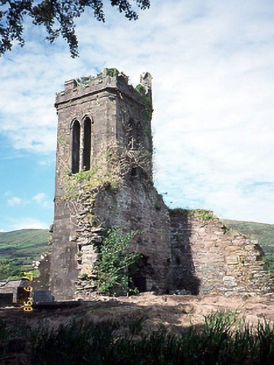 Séipéal an Clochán [Cloghane Church]church/chapel · 2.1 mi
 An CheapaighBeach / strand · 3.5 mi
 An t'Oileán DubhIslet · 3.5 mi