What is recorded here
Half the ring vanished into a field boundary, but the fort still turns its back to the north-west wind. A man may have stood inside that circle, watched the sky change, and left no name behind. The fairies keep what people forget, and Glanballyma still holds their share.
In pasture, on a NNW-facing slope. Depicted on the 2nd ed. (1897-8) OS 6-inch map as a circular area (diam. c. 29m) enclosed by a bank W-S and by a field boundary S-W. A small stretch of an earthen enclosing bank has been preserved in a field boundary along the SW arc while elsewhere a slight rise in the field suggests the line of bank. The interior is under pasture and slopes to the NNW. According to the landowner, the ringfort was levelled sometime between 1965 and 1970.
Compiled by: Matt Kelleher
Date of upload: 28 February 2014
The monument record does not grant public access. Check the route and ask the landowner before entering private land.
- What survives
- Recorded monument
Places near here
 Enclosure in GlanballymaEnclosure · 557 yd
 Skenapisha FortArchaeological place · 1735 yd
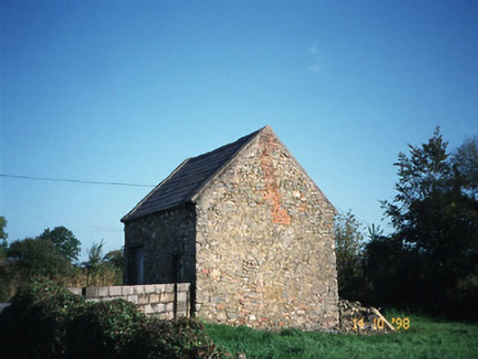 Crotta Housegate lodge · 1.1 mi
 Saint Mary's Catholic Churchchurch/chapel · 1.3 mi
 Kilflynn Nature ReserveNature reserve · 1.4 mi
 Stack's MountainMountain / peak · 3.0 mi
 CastleCastle, Anglo-Norman masonry castle · 3.1 mi
 CruslineMountain / peak · 3.5 mi
 Ballymacaquinn Castle (remains of)Castle · 5.2 mi
 Tobar na MoltSpring · 6.2 mi
 Kerry Writers' MuseumMuseum · 7.5 mi
 Bryan MacMahonMemorial · 7.5 mi