What is recorded here
Located on a fairly level landscape with a N-S stream c. 60m to the E. The cropmark of an enclosure (int. diam. c. 35m) defined by a single wide fosse feature that is interrupted at E and S is visible on digital aerial photographs (WX046-092_1 to 11) taken in July 2006.
Compiled by: Michael Moore
Date of upload: 19 August, 2013
The monument record does not grant public access. Check the route and ask the landowner before entering private land.
- What survives
- Recorded monument
Places near here
 Shell Bridgebridge · 710 yd
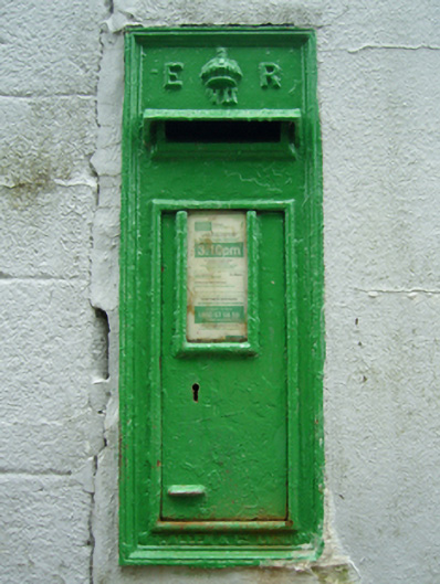 post boxpost box · 804 yd
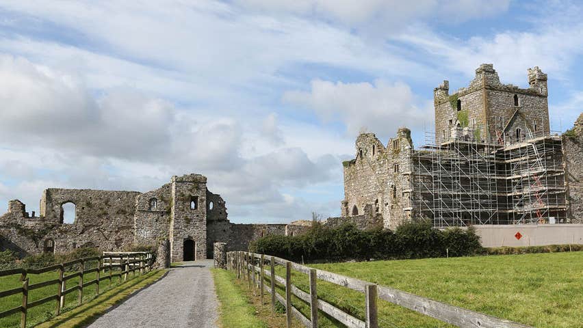 Castle (Site of)Castle, unclassified · 1.2 mi
 St. Clomauns WellHoly well · 1.3 mi
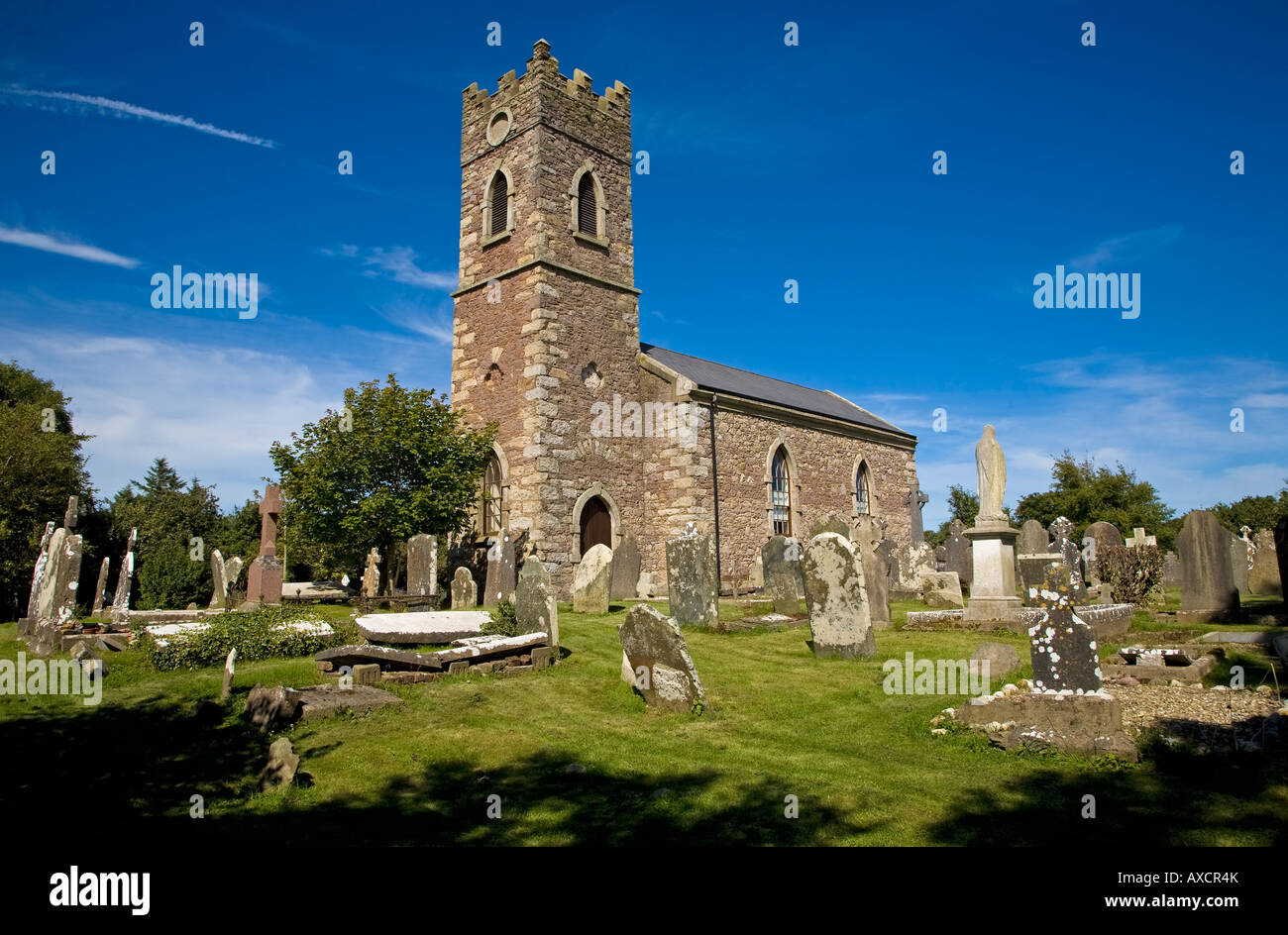 Ecclesiastical enclosure in DuncormickEcclesiastical enclosure · 1.3 mi
 CastleCastle, unclassified · 1.3 mi
 Cull IslandIsland · 1.7 mi
 Ballyteigue BurrowNature reserve · 2.5 mi
 Memorial Trail & Garden in Honour of Those Lost at SeaMemorial · 4.0 mi
 Whale boneHeritage attraction · 4.0 mi
 Ivan Sutton Art ExhibitionGallery · 4.0 mi
 Kilmore Quay - Crehen Twinning MemorialMemorial · 4.1 mi