What is recorded here
Fairy fort / earthen ringfort in Garryroan is a fairy fort or earthen ringfort in Garryroan, County Tipperary, Ireland. The round-topped earthen bank has a 2.2-metre crest width, 6.4-metre base width, 1.1-metre internal height and 1.15-metre external height, remains covered in undergrowth and stays visible from the south through west to north. The east quadrant has since been levelled, a change already shown on the 1906 map, while small-scale quarrying and possible upcast occupy the northeast.
In generally flat terrain in dense woodland of whitethorn, blackthorn and conifers. This monument is depicted as a roughly circular enclosure (diam. c. 40m) on the 1st (1843) ed. OS 6-inch map, the E quadrant has since been levelled, as is shown on the 1906 ed. The round-topped earthen bank (Wth 2.2m crest, 6.4m base; int. H 1.1m; ext. H 1.15m), covered in undergrowth, is visible from the S-W-N. There is an area of small scale quarrying in the NE and possible upcast surrounding this.
Compiled by: Jean Farrelly
Date of upload: 26 August 2011
The monument record does not grant public access. Check the route and ask the landowner before entering private land.
- What survives
- Recorded monument
Places near here
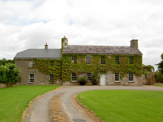 Garryroan Househouse · 328 yd
 Garrycloher WoodForest · 586 yd
 Ecclesiastical enclosure in WhitechurchEcclesiastical enclosure · 605 yd
 Church (in ruins)Church · 629 yd
 IndicatedEnclosure · 1001 yd
 Bawn in CloheenafishogeBawn · 2.0 mi
 Knockane Castle ruinsCastle · 2.1 mi
 European YewEuropean Yew · 2.6 mi
 SlieveanardMountain / peak · 2.8 mi
 Slieveanard NE TopMountain / peak · 2.9 mi
 Cahir CastleHeritage attraction · 2.9 miSiege of Cahir Castlesiege · 3.0 mi