What is recorded here
Located in a low-lying landscape. The cropmark of a circular enclosure (diam. c. 50m) defined by a single fosse feature is visible on an aerial photograph taken in 2004. It can also be seen in the OSI series of aerial photographs (2005).
Compiled by: Michael Moore
Date of upload: 17 July, 2012
Amended: 24 April, 2014
The monument record does not grant public access. Check the route and ask the landowner before entering private land.
- What survives
- Recorded monument
Places near here
 St. Nicholas WellHoly well · 1001 yd
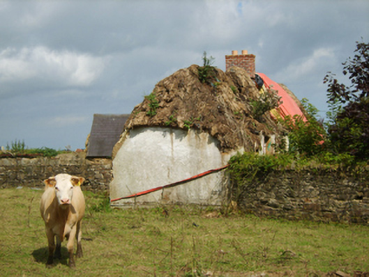 farm housefarm house · 1253 yd
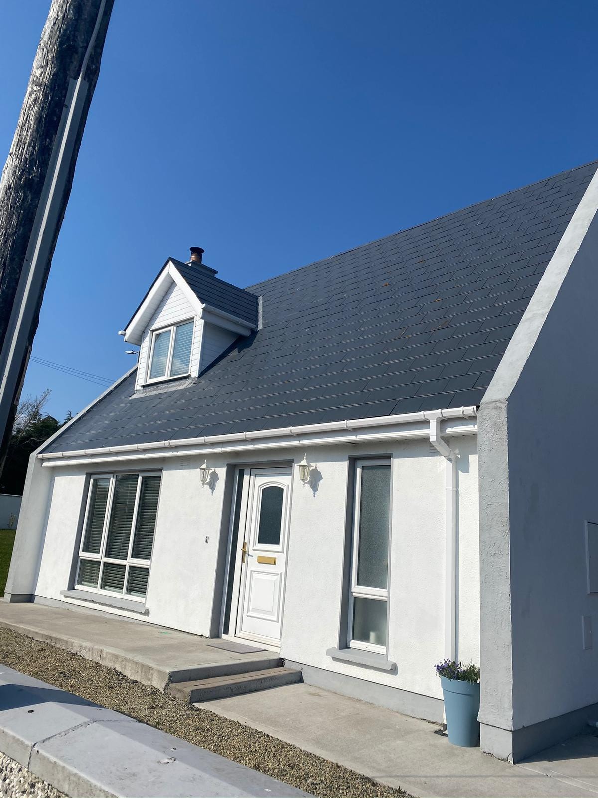 Embanked enclosureFairy fort / earthen ringfort · 1.3 mi
 1798 MemorialMemorial · 1.3 mi
 bridgebridge · 1.4 mi
 Ballinkeel Castle (in ruins)Castle, unclassified · 2.3 mi
 CastleCastle, unclassified · 2.6 mi
 1798 MonumentMemorial · 2.6 mi
 71Mountain / peak · 3.2 mi
 Ballywish SouthForest · 3.6 mi
 Eden ValeWood · 3.8 mi
 Ballinesker BeachBeach / strand · 4.1 mi