What is recorded here
No visible entrance at the south, where the ditch vanishes, leaving the fort open to whatever walks in from that direction. People called it a fairy fort because the gap defied human sense, yet the measured banks and ditch suggest deliberate building rather than magical error. The fairies may have simply inherited the contradiction: a fortified place with one wall removed, as if inviting guests instead of keeping them out.
A subcircular area (dims. 48.4m NW-SE, c. 42.7m NE-SW) defined by an inner bank (Wth c. 3.2m, int. H c. 0.8m, ext. H c. 1.7m), intervening fosse (Wth c. 3.8m), except at S, and an outer bank (Wth c. 2.7m, int. H c. 1.6m, ext. H c. 0.5m) from SW-E. Possible original entrance at SE.
The above description is derived from the published 'Archaeological Inventory of County Laois' (Dublin Stationery Office, 1995) compiled by P. David Sweetman, Olive Alcock and Bernie Moran. In certain instances the entries have been revised and updated in the light of recent research.
Date of upload: 17 December 2007
The monument record does not grant public access. Check the route and ask the landowner before entering private land.
- What survives
- Recorded monument
Places near here
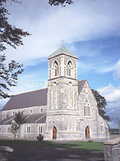 Saint Canice's Catholic Churchchurch/chapel · 261 yd
 Enclosure in Bordwell LittleEnclosure · 1036 yd
 Enclosure in CuffsboroughEnclosure · 1224 yd
 Bordwell Church (in Ruins)Church · 1245 yd
 Kilbreedy CastleCastle · 1.9 mi
 European PearEuropean Pear · 1.9 mi
 CastleCastle, motte · 2.0 mi
 Big WoodWood · 2.5 mi
 Cnoc SeanrathaMemorial · 6.8 mi
 Anker's IslandIsland · 8.4 mi
 DelaneyMemorial · 9.6 mi
 Black HillMountain / peak · 9.7 mi