What is recorded here
Garrynagore holds a forty-two-metre earthen ring where later field fences swallowed the west and south banks. The remaining low ridge barely clears the ground, hiding a broad interior mound that may have marked a house, a cache or a forgotten shrine. People walked this space before fences cut it open, perhaps entering from the southeast as local memory claims.
Internal diameter 42.6m N-S
This sub-circular univallate rath has been completely disfigured from the NW through W to S by its incorporation into later field fences. Elsewhere the enclosing earthen bank is very much levelled and is barely discernible above the ground. It is low and wide, rising to 1.5m above the external ground level. According to the landowner, the original entrance lay to the SE, but no trace of this survives. In the N sector of the interior is a mound (KE021-033001-), 2.4m N-S, 3.2m E-W internally and .9m high.
The above description is derived from C. Toal, ‘North Kerry Archaeological Survey’. Dingle. Brandon in association with FAS Training and Employment Authority (1995), no. 748. In certain instances the entries have been revised and updated in the light of recent research.
Date of upload: 2 August 2013
The monument record does not grant public access. Check the route and ask the landowner before entering private land.
- What survives
- Recorded monument
Places near here
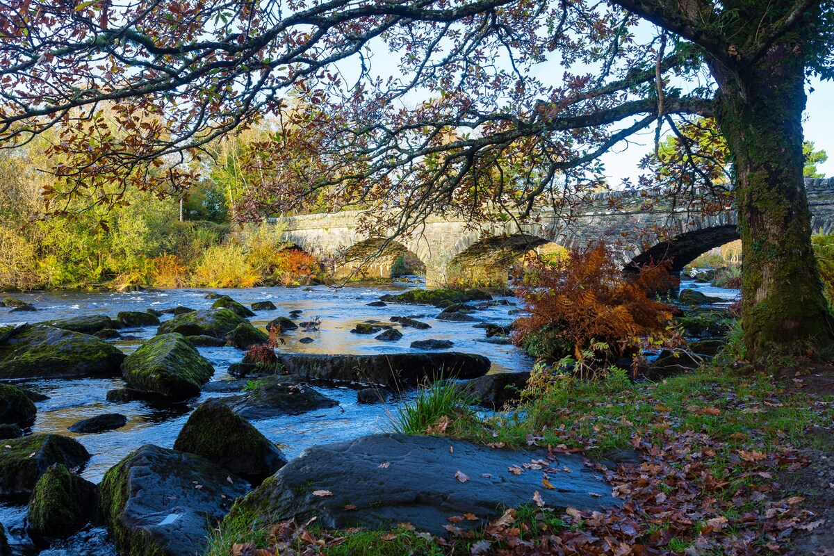 Fulacht fia in AghacooraFulacht fia · 995 yd
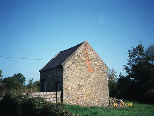
 Enclosure in AghacooraEnclosure · 1170 yd
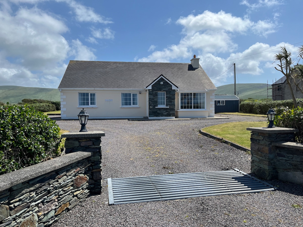
 Crotta Housegate lodge · 1433 yd
 Saint Mary's Catholic Churchchurch/chapel · 1.4 mi
 Kilflynn Nature ReserveNature reserve · 1.5 mi
 CastleCastle, Anglo-Norman masonry castle · 2.2 mi
 Ballymacaquinn Castle (remains of)Castle · 3.5 mi
 CruslineMountain / peak · 4.2 mi
 Stack's MountainMountain / peak · 4.2 mi
 Tobar na MoltSpring · 5.1 mi
 Ardfert Franciscan FriaryVisitor information · 6.3 mi
 Ardfert FriaryVisitor information · 6.3 mi