What is recorded here
Fairy fort / earthen ringfort in Garrykennedy is a fairy fort or earthen ringfort in Garrykennedy, County Tipperary, Ireland. The circular enclosure measures 35 metres from north to south and sits on an east-facing slope in an upland area. An earth and stone bank, now mostly a 0.8-metre-high scarp, surrounds the interior, while a 3.5-metre-wide external ditch marks the boundary. A 2.6-metre-wide entrance gap opens at the east, though a field fence cuts through the ditch at the west and north.
Situated on an E-facing slope of rising ground in an upland area. A circular area (diam. 35m N-S) enclosed by an earth and stone bank mainly reduced to a scarp (H 0.8m) and an external fosse (Wth 3.5m) with an entrance gap (Wth 2.6m) at E. A field fence intersects the fosse at W and N.
In 2002 archaeological monitoring by Tara O'Neill on a residential development site located south and south-east the ringfort, revealed no archaeological features or deposits of archaeological significance. This monitoring was carried out under Licence No. 01E18140 (Bennett 2004, 477).
The above description is derived from 'The Archaeological Inventory of County Tipperary. Vol. 1 - North Tipperary' compiled by Jean Farrelly and Caimin O'Brien (Dublin: Stationery Office, 2002). In certain instances the entries have been revised and updated in the light of recent research.
Date of upload/revision: 22 September 2008
The monument record does not grant public access. Check the route and ask the landowner before entering private land.
- What survives
- Recorded monument
Places near here
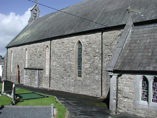 Catholic Church of the Blessed Virgin Marychurch/chapel · 423 yd
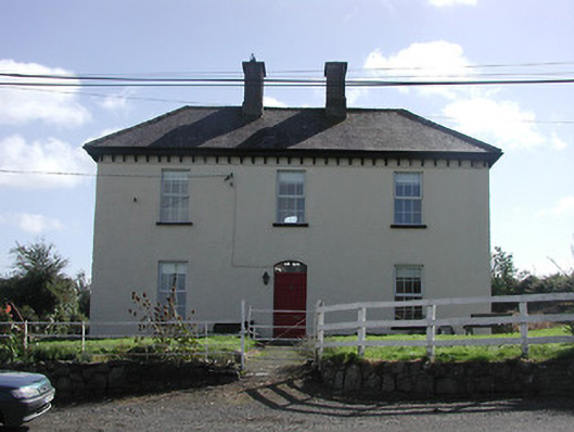 Dower HouseRIC barracks · 567 yd
 Enclosure in GarrykennedyEnclosure · 726 yd
 Enclosure in Curragh (castletownarra Par.)Enclosure · 819 yd
 Mass RockNamed rock · 1.2 mi
 CastleCastle, unclassified · 1.5 mi
 Garrykennedy ForestWood · 1.5 mi
 CopperminesCave · 1.5 mi
 Garrykennedy Castle (in ruins)Castle, tower house · 1.6 mi
 Giant's GraveArchaeological place · 1.6 mi
 Blessed WellNature reserve · 1.7 mi
 Corbally HillMountain / peak · 1.9 mi