What is recorded here
No visible fortification stands at this location today. The ground holds no ring, ditch, bank or broken stone that marks a human fort. What is missing is the fact: the for
In pasture, on SW-facing slope. Roughly circular area (33.5m N-S; 40.5m E-W) enclosed by two earthen banks with intervening fosse; external fosse (D 2m); counterbank S->WNW. Inner bank (int. H 1.2m) W->N; low rise elsewhere. Outer bank (int. H 2.7m) N->NNW, replaced by stone wall NNW->N. Entrance (Wth 4.5m) to S with causeway across outer fosse.
The above description is derived from the published 'Archaeological Inventory of County Cork. Volume 1: West Cork' (Dublin: Stationery Office, 1992). In certain instances the entries have been revised and updated in the light of recent research.
Date of upload/revision: 14 January 2009
The monument record does not grant public access. Check the route and ask the landowner before entering private land.
- What survives
- Recorded monument
Places near here
 Water millWater mill, horizontal-wheeled · 948 yd
 CaveMan-made underground passage · 1060 yd
 Garraneishal FortArchaeological place · 1152 yd
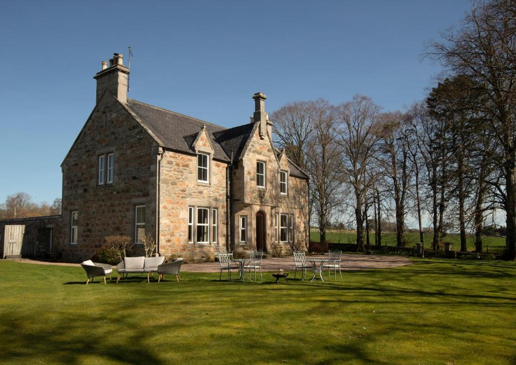 Country house in Letter (carbery East (w.d) By.)Country house · 1.3 mi
 Battle of the Big Cross (1798) Memorial MonumentMonument · 1.5 mi
 Castle (Site of)Castle, unclassified · 2.4 mi
 Castle DerryCastle · 2.9 mi
 Clonakilty Tourist OfficeVisitor information · 3.0 mi
 Cloch na gCoillteMemorial · 3.0 mi
 Michael Collins House MuseumMuseum · 3.1 mi
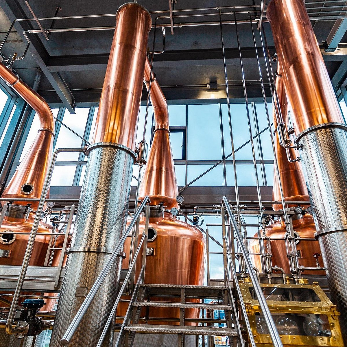 Clonakilty DistilleryHeritage attraction · 3.1 mi
 Corran HillMountain / peak · 3.4 mi