What is recorded here
Bentee mountain still holds the Garranearagh rath, where a stone hut waits beside a deep fosse and a narrow causeway cuts through the SE bank. The north edge drops into a ravine, forcing anyone who entered to face the wide water of Valencia Harbour rather than hide from it. Grass and shadow have swallowed most of the work, but the circle remains clear enough to suggest people valued watching the harbour more than they valued ease.
This well-preserved though densely overgrown rath is located in rough pasture on the lower W slopes of Bentee mountain. The site affords an extensive outlook over Valencia Harbour to W and consists of an enclosing fosse and bank and an internal hut. The N side of the rath is defined by a 4.5m high ravine, and the inner face of the bank barely rises above the level of the rath's interior at this point. Elsewhere it rises to an average height of .5m. The bank, composed of earth and gravel with a large content of stone, falls 2.7m to the flat-bottomed fosse. The latter is 1.2m wide and averages 2.4m deep below surrounding ground level. No entrance gap could be identified, though a possible causeway across the fosse occurs at SE.
The interior of the rath is level and the wall of the circular hut (KE079-063001-) survives as a band, 1.4m wide, of stone collapse. The internal diameter of the hut is 5.8m.
The above description is derived from A. O'Sullivan and J. Sheehan (compilers), 'The Iveragh peninsula: an archaeological survey of South Kerry'. Cork University Press (1996), no. 509. In certain instances the entries have been revised and updated in the light of recent research.
Date of upload: 29 July 2013
The monument record does not grant public access. Check the route and ask the landowner before entering private land.
- What survives
- Recorded monument
Places near here
 CloghaunHut site · 627 yd
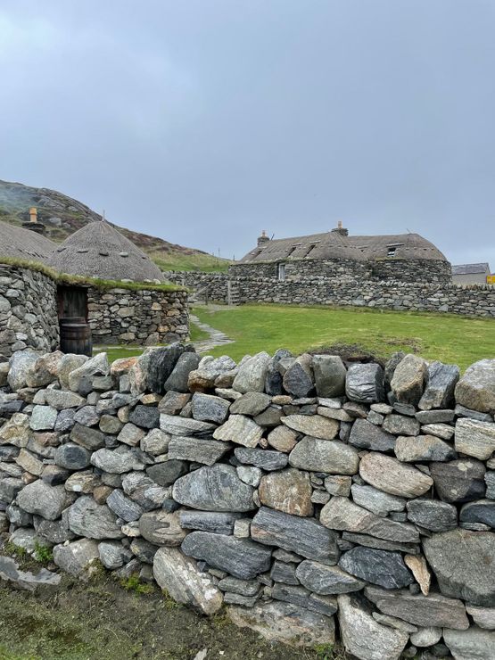 Hut site in GarranebaneHut site · 759 yd
 CastleCastle, unclassified · 1033 yd
 BenteeMountain / peak · 1080 yd
 Mc Crehins Castle (Site of)Castle, unclassified · 1380 yd
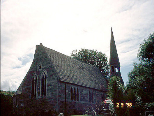 church/chapelchurch/chapel · 1388 yd
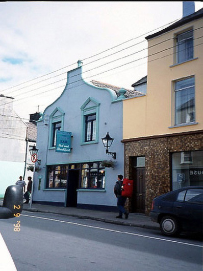 Corner Househouse · 1471 yd
 Laharn Bog LoopWalking route · 1.1 mi
 Foughil IslandIslet · 1.1 mi
 Ballycarbery CastleRuins · 1.6 mi
 White Strand BeachBeach / strand · 2.0 mi
 Beginish IslandIsland · 3.0 mi