What is recorded here
Fairy fort in Garrane is a circular earthwork with a stone-faced bank, external ditch, and eastern causeway gap. It sits in pasture on a north-facing slope, preserving the shape of an old defended or occupied place. The clear entrance and solid ring suggest people lived, worked, or gathered there before the land became open grass.
In pasture, on break in N-facing slope. Circular area (46m NE-SW; 46m NW-SE) enclosed by earthen bank (H 1.1m) E->WNW; scarp (H 1.3m) elsewhere; external fosse (max. D 0.8m) NNE->E. Bank and scarp stone faced in parts. Gap (Wth 1.5m) in bank to E, with causeway.
The above description is derived from the published 'Archaeological Inventory of County Cork. Volume 1: West Cork' (Dublin: Stationery Office, 1992). In certain instances the entries have been revised and updated in the light of recent research.
Date of upload/revision: 14 January 2009
The monument record does not grant public access. Check the route and ask the landowner before entering private land.
- What survives
- Recorded monument
Places near here
 Aghmanister Abbey (in Ruins)Religious house, Cistercian monks · 1283 yd
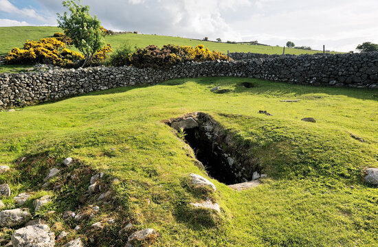 Man-made underground passage in Aghamanister AND SpitalMan-made underground passage · 1407 yd
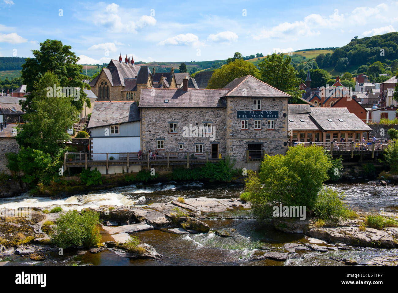 Corn Mill (in Ruins)Mill, corn · 1592 yd
 Kill Bur. Gd. (Children) (Disused)Burial ground · 1669 yd
 Timoleague ViewViewpoint · 1.0 mi
 War MemorialMemorial · 1.0 mi
 Rail SignalHeritage attraction · 1.3 mi
 Nature WalkVisitor information · 1.3 mi
 Kilnamanagh WoodWood · 1.4 mi
 Mahon AbbeyHeritage attraction · 1.4 mi
 Timoleague CastleCastle, tower house · 1.8 mi
 RailwayMemorial · 1.9 mi