What is recorded here
Garranagoleen holds a broken earthen ring on a south-east slope, its shallow bank and ditch still marking a small defensive home. The gap faces east, inviting entry or escape depending on which direction fear travels. Cows may have grazed the same grass for centuries, trusting the soil more than people remember.
In tillage, on break in SE-facing slope. Circular area (31.9m N-S; 33m E-W) enclosed by earthen bank (H 1.1m) SSW->ESE; scarp elsewhere; external fosse (D 1.4m) NW->NNE. Break in bank to ENE (Wth 2.4m).
The above description is derived from the published 'Archaeological Inventory of County Cork. Volume 1: West Cork' (Dublin: Stationery Office, 1992). In certain instances the entries have been revised and updated in the light of recent research.
Date of upload/revision: 14 January 2009
The monument record does not grant public access. Check the route and ask the landowner before entering private land.
- What survives
- Recorded monument
Places near here
 Fulacht FianFulacht fia · 328 yd
 Fulacht FiadhFulacht fia · 480 yd
 Kilkerranmore Church (in Ruins)Church · 870 yd
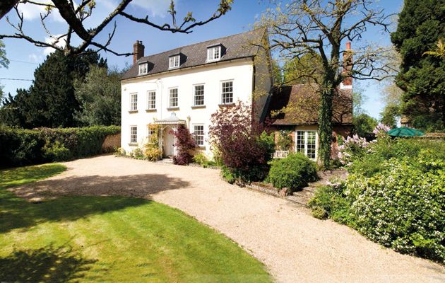 Country house in Cloheen (carbery East (e.d.) By., Kilgarriff Par.)Country house · 1680 yd
 CastleCastle, unclassified · 1.6 mi
 Clonakilty Blackpudding Visitor CentreHeritage attraction · 1.8 mi
 Inchydoney BeachBeach / strand · 1.8 mi
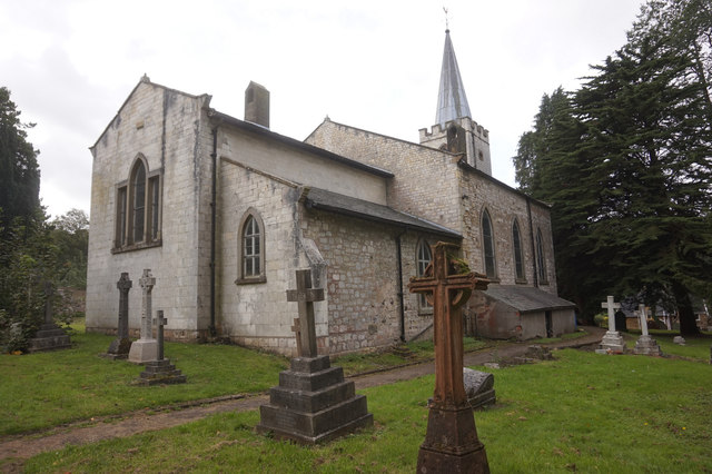 St. James WellSpring · 2.0 mi
 Cloch na gCoillteMemorial · 2.1 mi
 Clonakilty HarbourBay · 2.2 mi
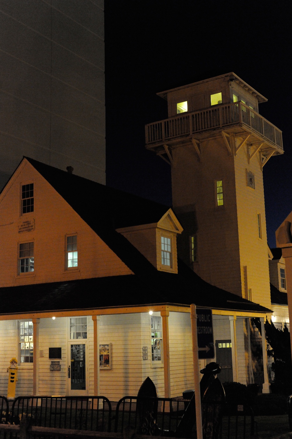 Old Coast Guard StationRuins · 2.2 mi
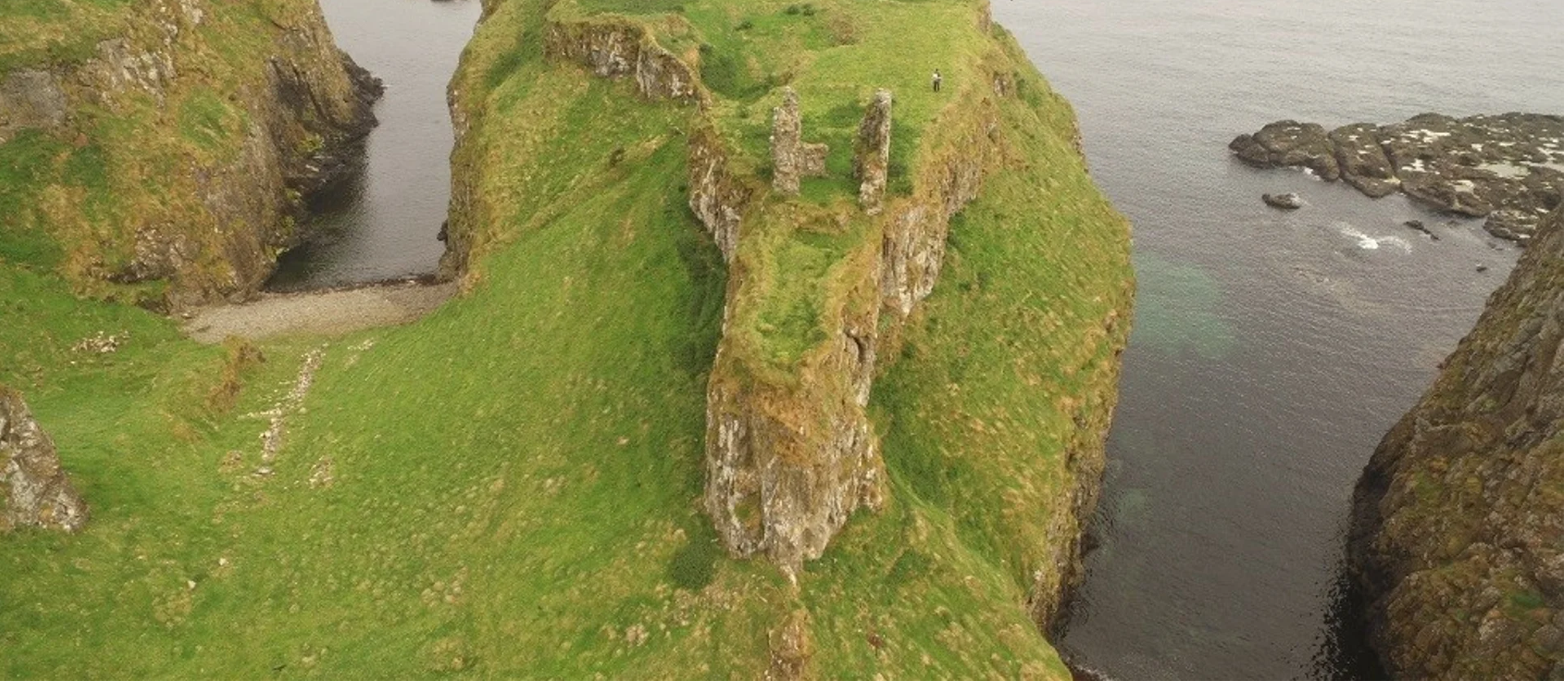 Dunnycove Castle (in Ruins)Castle, tower house · 2.6 mi