What is recorded here
Gardenfield holds a scarped earthen ring forty feet across, old enough to predate human memory in local thought. The soil edge still stands a metre high, marking a circular boundary now choked with abandoned cars and rubbish. What lives inside that ring has stopped being human, or perhaps never was. The fort has become a feeding trough for forgotten things, waiting for the field to empty before it speaks.
In level pasture. Circular area (16.7m N-S; 18m E-W) defined by scarped edge (H 1.2m; Wth 3.5m). A N-S running field boundary skirts base of scarped edge at ESE. Farm trackway skirts edge of site at SW. Interior is used as a dump for abandoned cars and general rubbish.
Compiled by: Denis Power
Date of upload: 26 August 2011
The monument record does not grant public access. Check the route and ask the landowner before entering private land.
- What survives
- Recorded monument
Places near here
 Enclosure in GardenfieldEnclosure · 750 yd
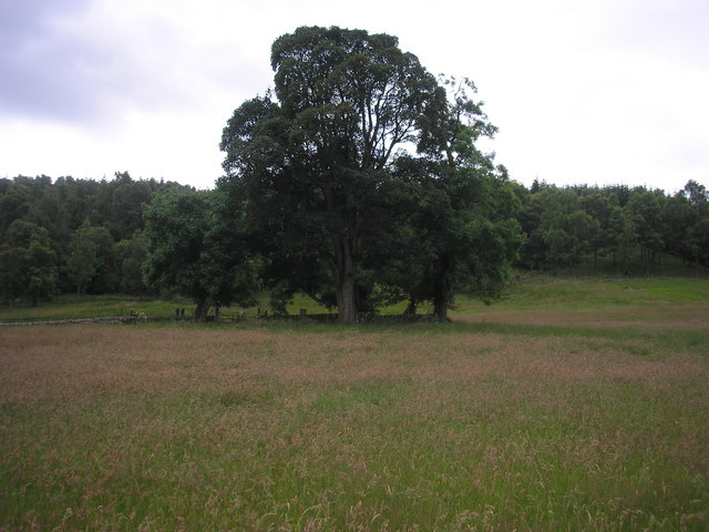 Burial GroundGraveyard · 980 yd
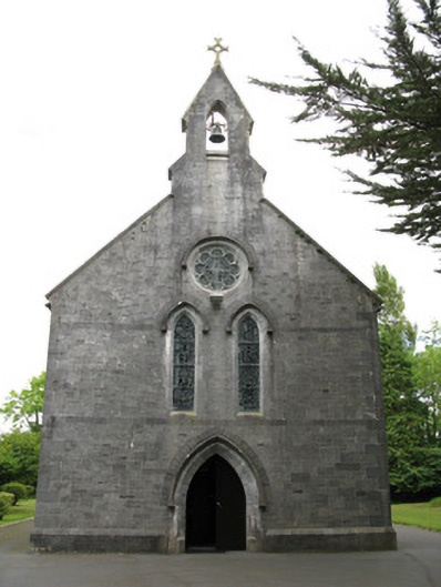 Saint Mary's Catholic Churchchurch/chapel · 1010 yd
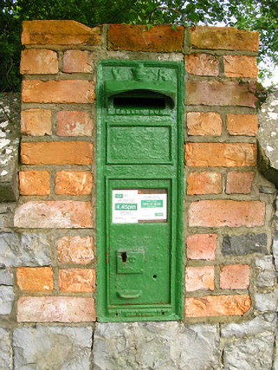 post boxpost box · 1130 yd
 Dotted outlineBawn · 2.3 mi
 Saint Ite's WellSpring · 2.3 mi
 Templars Castle (in ruins)Castle, Anglo-Norman masonry castle · 2.4 mi
 Ballagh MountainMountain / peak · 3.5 mi
 Limerick GreenwayWalking route · 4.0 mi
 Sugar HillMountain / peak · 4.2 mi
 TobereenalaffinaSpring · 4.3 mi
 European ashEuropean ash · 6.9 mi