What is recorded here
Forty-three metres of forgotten circle still holds its shape in Gardenfield pasture, the earthen bank rising a metre and twenty on the outside before dipping into a narrow fosse. Cattle graze across the level interior today, unaware they walk inside an old ringfort where the boundary once marked something owned, defended or revered. The bank has been absorbed into the field system toward the north-west, yet the curve remains clear enough to read without instruments.
In level pasture. Circular area (diam. 43m) enclosed by an earthen bank (int. H 0.6m; ext. H 1.2m) with an external fosse (Wth 2.4m; D 0.4m). Bank incorporated into field boundary system NNE->NW. Interior level and under pasture.
Compiled by: Denis Power
Date of upload: 26 August 2011
The monument record does not grant public access. Check the route and ask the landowner before entering private land.
- What survives
- Recorded monument
Places near here
 Enclosure in GardenfieldEnclosure · 326 yd
 Moated site in ArranaghMoated site · 521 yd
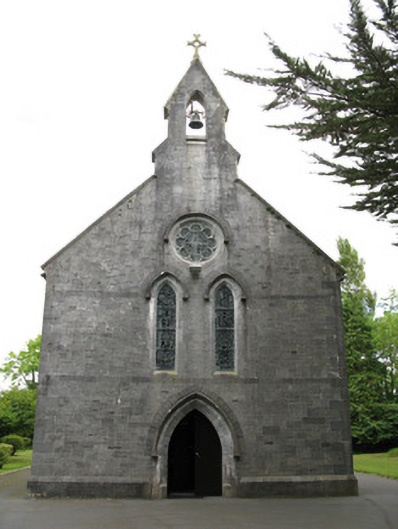 Saint Mary's Catholic Churchchurch/chapel · 1189 yd
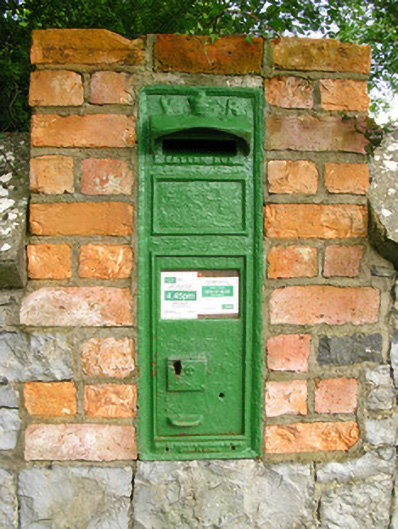 post boxpost box · 1282 yd
 Dotted outlineBawn · 1.9 mi
 Saint Ite's WellSpring · 2.0 mi
 Glenquin CastleCastle · 2.3 mi
 Ballagh MountainMountain / peak · 3.1 mi
 TobereenalaffinaSpring · 4.2 mi
 Limerick GreenwayWalking route · 4.2 mi
 Sugar HillMountain / peak · 4.4 mi
 Mullaghareirk - Banane LoopWalking route · 6.9 mi