What is recorded here
Gardenfield holds two forgotten forts joined like a figure eight, each thirty metres wide on a gentle slope. The earth has swallowed their rims, but an underground passage still breathes beneath the northern circle. People may have lived, hidden or worshipped inside that double ring before the grass claimed the stone.
On a gentle SW-facing slope in grassland. Marked on OS 6-inch maps as a conjoined enclosure, each c. 30m in diameter. No visible surface trace survives of either N or S enclosure but a Man-made underground passage (GA029-080002-) is associated with N one. The lonument is referred to by Costello (1903, 4) as a 'double fort'. (Killanin and Duignan 1967, 448)
The above description is derived from the published 'Archaeological Inventory of County Galway Vol. II - North Galway'. Compiled by Olive Alcock, Kathy de hÓra and Paul Gosling (Dublin: Stationery Office, 1999).
Date of upload: 05 August 2010
The monument record does not grant public access. Check the route and ask the landowner before entering private land.
- What survives
- Recorded monument
Places near here
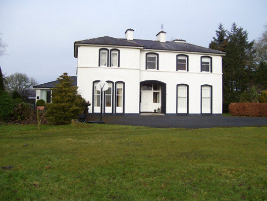 Gardenfield Househouse · 165 yd
 Cross in CarrownagarryCross · 798 yd
 Enclosure in GardenfieldEnclosure · 895 yd
 water pumpwater pump · 1139 yd
 European ashEuropean ash · 1546 yd
 CastleCastle, unclassified · 2.0 mi
 Mass RockNamed rock · 2.8 mi
 Fartamore Castle in ruinsCastle, tower house · 3.0 mi
 KnockmaaWood · 5.7 mi
 Kilcoona Round TowerHeritage attraction · 9.5 mi
 Ballinduff BayBay · 12 mi
 Walsh's IslandIslet · 13 mi