What is recorded here
Motherrrrrrrrrrrrrrrrrrrrrrrrrrrrrrrrrrrrrrrrrrrrrrrrrrrrrrrrrrrrrrrrrrrrrrrrrrrrrrrrrrrrrrrrrrrrrrrrrrrrrrrrrrrrrrrrrrrrrrrrrrrrrrrrrrrrrrrrrrrrrrrrrrrrrrrrrrrrrrrrrrrrrrrrrrrrrrrrrrrrrrrrrrrrrrrrrrrrrrrrrrrrrrrrrrrrrrrrrrrrrrrrrrrrrrrrrrrrrrrrrrrrrrrrrrrrrrrrrrrrrrrrrrrrrrrrrrrrrrrrrrrrrrrrrrrrrrrrrrrrrrrrrrrrrrrrrrrrrrrrrrrrrrrrrrrrrrrrrrrrrrrrrrrrrrrrrrrrrrrrrrrrrrrrrrrrrrrrrrrrrrrrrr
On a hillock in gently rolling pastureland, a N flowing stream is visible to the W. Very poorly preserved subcircular rath (47.5m N-S; c. 42m E-W) defined by a scarp from NNW to NE (max. H 1m) and from SE to S (max. H 0.5m); elsewhere no visible surface trace survives. Two more raths (GA100-090---- and GA100-092----) lie c. 250m to the NW and c. 300m to the WSW respectively.
Compiled by: Galway Archaeological Survey, UCG
Date of upload: 14 February 2019
The monument record does not grant public access. Check the route and ask the landowner before entering private land.
- What survives
- Recorded monument
Places near here
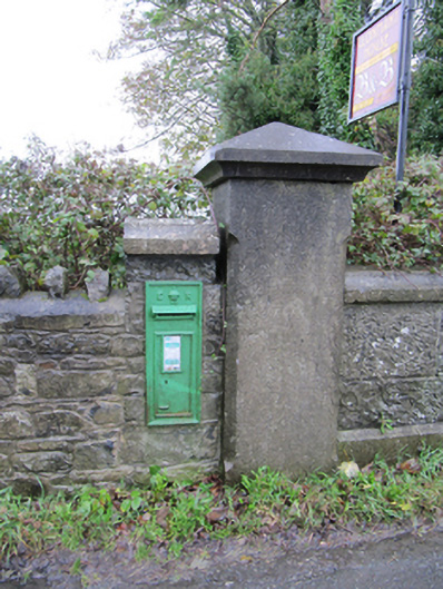 post boxpost box · 812 yd
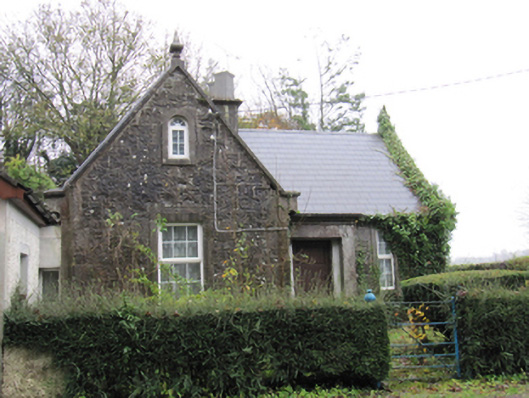 Lismanny Housegate lodge · 837 yd
 Enclosure in Ballymanagh (longford By.)Enclosure · 1158 yd
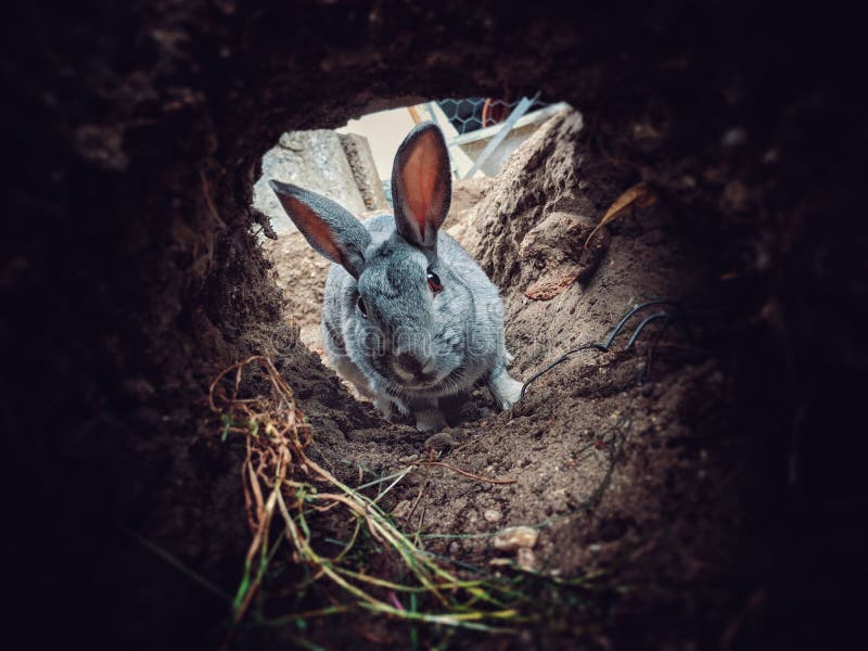 Rabbit BurrowFairy fort / earthen ringfort · 1596 yd
 Oghil Castle (in ruins)Castle, tower house · 1.4 mi
 European BeechEuropean Beech · 1.8 mi
 European YewEuropean Yew · 2.0 mi
 Ballymore CastleCastle, tower house · 2.6 mi
 Ardcarn IslandsIslet · 2.8 mi
 Redmond HillMountain / peak · 3.8 mi
 Urraghry HillMountain / peak · 4.0 mi
 The bloody HollowHeritage attraction · 4.6 mi