What is recorded here
Galboystown holds a broad earthen ring on a rising slope, marked by twin banks, a shallow ditch and a widened eastern gap. It is no longer a home but a shape the land still carries, perhaps watched by people who believed the fairies lived inside its circles. The quarry pits cut into one side show that human hands kept taking from the fort even after they stopped fearing what it contained.
Situated on a rise in an undulating landscape. This is a raised and grass-covered subcircular area (dims 51m ENE-WSW; c. 40m NW-SE) defined by an earthen bank (at ENE: Wth 11m; int. H 0.5m; ext. H 1m) separated by a slight fosse (at ENE: Wth of top 8.5m; Wth of base 2m; ext. D 0.3m) from an outer earthen bank (at ENE: Wth of base 9m; ext. H 1.2m) with some bushes NW-NE. The inner bank morphs into a scarp (at WSW: Wth 5m; H 1.7m) and the fosse into a berm (at WSW: Wth 7.5m) defined by the outer bank that has morphed into another scarp (at WSW: Wth 7m; H 1.6m) NE-S-WSW. There are traces of a third bank (at WSW: Wth 5m; ext. H 1m) S-WSW that is incorporated into a NNE-SSW field bank WSW-NW. The widened entrance through the inner (Wth of base 10m) and outer (Wth of base 10m) banks is at ESE. The E quadrant of the interior has old quarry pits.
The above description is derived from the published 'Archaeological Inventory of County Meath' (Dublin: Stationery Office, 1987). In certain instances the entries have been revised and updated in the light of recent research.
Compiled by: Michael Moore
Date of revision: 27 February 2019
Amended: 23 March 2023
The monument record does not grant public access. Check the route and ask the landowner before entering private land.
- What survives
- Recorded monument
Places near here
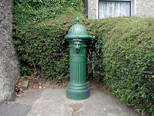 water pumpwater pump · 960 yd
 market placemarket place · 1190 yd
 CastleCastle, unclassified · 1520 yd
 European ashEuropean ash · 1.0 mi
 Enclosure in Shanco (fore By.)Enclosure · 1.1 mi
 IndicatedFairy fort / earthen ringfort · 1.5 mi
 MoatCastle, motte and bailey · 1.6 mi
 Persian WalnutPersian Walnut · 2.2 mi
 Drewstown LittleMountain / peak · 2.9 mi
 CloncatMountain / peak · 3.6 mi
 BoglandMemorial · 4.3 mi
 Causey FarmHeritage attraction · 4.5 mi