What is recorded here
Mud and muscle built the Galboystown ring before stone, shaping a shallow basin wide enough for a family and narrow enough to watch the road. The bank still stands where it can, but the earth has forgotten one side, leaving the fort open to the sky like a sentence broken mid-breath. People may have lived inside, loved inside, bled inside; the grass has swallowed their names and keeps only the curve they made.
Located on a hillock in an undulating landscape. This is a subcircular grass-covered area (dims 22.5m NNE-SSW; 19m WNW-ESE) defined by an earthen bank (Wth of base 2.3-3.3m; int. H 0.2m; ext. H 0.8m at SW to 1.7m at NE) that is absent E-SSE. There are entrance gaps at SW (Wth of base 2.3m) and NE (Wth of base 1.1m), either of which might be original.
The above description is derived from the published 'Archaeological Inventory of County Meath' (Dublin: Stationery Office, 1987). In certain instances the entries have been revised and updated in the light of recent research.
Compiled by: Michael Moore
Date of revision: 11 January 2019
The monument record does not grant public access. Check the route and ask the landowner before entering private land.
- What survives
- Recorded monument
Places near here
 CastleCastle, unclassified · 627 yd
 European ashEuropean ash · 1482 yd
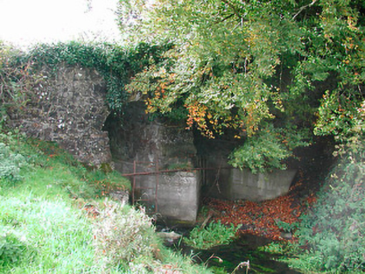 Snipe's Bridgebridge · 1557 yd
 IndicatedFairy fort / earthen ringfort · 1753 yd
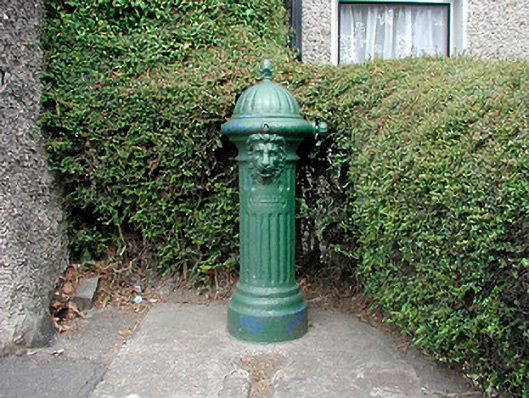 water pumpwater pump · 1.0 mi
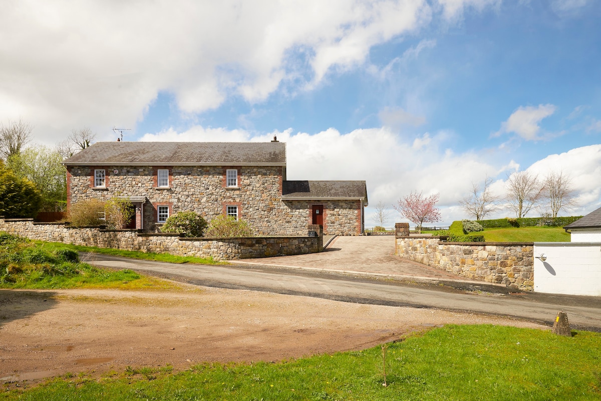 Enclosure in BoherardEnclosure · 1.3 mi
 MoatCastle, motte and bailey · 1.4 mi
 European YewEuropean Yew · 2.0 mi
 Kells HillMountain / peak · 3.4 mi
 Drewstown LittleMountain / peak · 3.5 mi
 BoglandMemorial · 5.0 mi
 Zip WireHeritage attraction · 6.4 mi