What is recorded here
Located on a W-facing slope with a N-S stream c. 200m to the W. The cropmark of a subcircular enclosure (diam. c. 35m) defined by a single silght fosse feature is visible on aerial photograph (CUCAP, BDP 8). No feature is visible at ground level in a root crop. It is visible as a cropmark on the OSI series of aerial photographs (2005).
The above description is derived from the published 'Archaeological Inventory of County Wexford' (Dublin: Stationery Office, 1996). In certain instances the entries have been revised and updated in the light of recent research.
Compiled by: Michael Moore
Date of upload/revision: 15 June, 2012
The monument record does not grant public access. Check the route and ask the landowner before entering private land.
- What survives
- Recorded monument
Places near here
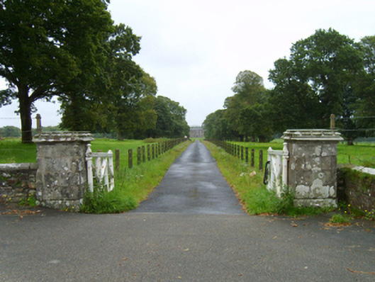 Wells Housegates/railings/walls · 687 yd
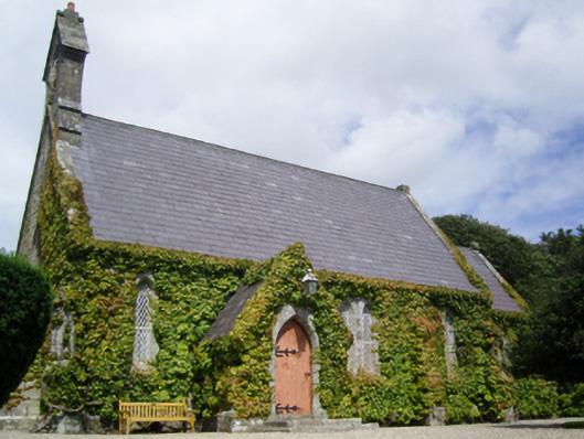 Saint John's Church (Kilnamanagh)church/chapel · 808 yd
 Fontainebleau service treeFontainebleau service tree · 866 yd
 Enclosure in KnockskemolinEnclosure · 1109 yd
 Enclosure in GlenrannyEnclosure · 1536 yd
 Birds of PreyVisitor information · 1709 yd
 Bird BoxesVisitor information · 1.0 mi
 Kilnamanagh Grave YardArchaeological place · 1.6 mi
 Oulart HillMountain / peak · 1.8 mi
 The HarrowMemorial · 2.1 mi
 Father Murphy CentreHeritage attraction · 2.4 mi
 The CoilWood · 3.5 mi